
A significant winter weather event is set to impact the region as precipitation is forecasted to begin after midnight tonight, moving from southwest to northeast. Initially, the area can expect snow; however, a transition to sleet and freezing rain is anticipated for most locations as temperatures rise through the morning. For areas along and south of the US-50/I-66 corridor, the event is likely to conclude with rain. Conversely, locations near the Mason-Dixon Line may experience snowfall for the duration of the event, although the exact path of the low pressure system introduces some uncertainty.
A Winter Weather Advisory is in effect from 1 AM to 1 PM EST on Tuesday. During this period, total snow and sleet accumulations are projected to reach between 1 and 3 inches, with localized amounts of up to 4 inches possible near the Mason-Dixon Line. In addition, ice accumulations could reach one-tenth of an inch.
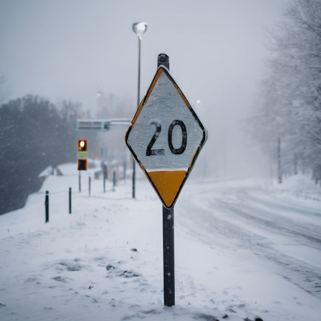
Travelers should be prepared for slippery road conditions that could disrupt the Tuesday morning commute, making it essential to proceed with caution. The precipitation is expected to start primarily as snow before eventually mixing with sleet and freezing rain. Should the area experience a prolonged period of snow, higher snowfall totals may occur. Moreover, additional upslope snow showers are anticipated Tuesday afternoon for regions west of the Allegheny Front, which could lead to an additional inch of accumulation.
As always, it is advisable to monitor road conditions and exercise caution while traveling. Current road updates can be accessed by calling 5-1-1.