
A significant storm system is poised to affect East Texas this weekend, with another system anticipated to follow next week, raising the likelihood of severe thunderstorms, heavy rainfall, and strong winds. Two critical periods have been deemed First Alert Weather Days: from tonight through Saturday and again on Tuesday and Wednesday.
As a strong storm system approaches from the west, conditions are becoming increasingly favorable for severe thunderstorm formation across East Texas. Scattered severe thunderstorms are expected to begin this evening and persist through Saturday, with primary threats including damaging winds, large hail, and a chance of isolated tornadoes. Initially, while the strongest storm activity may be concentrated northwest of the region, thunderstorms are projected to gradually spread southeastward into East Texas overnight and into Saturday morning.
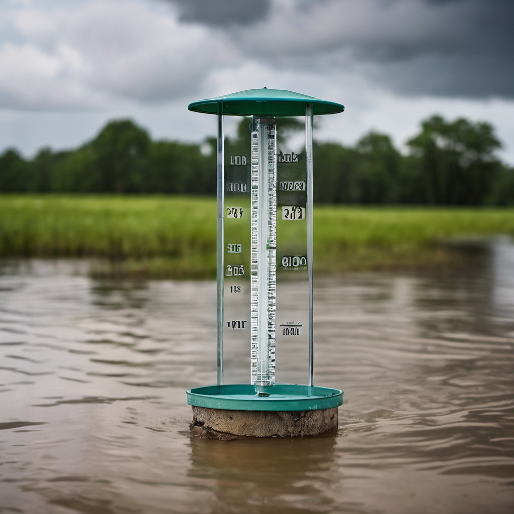
Accompanying this storm system will be heavy rainfall, with widespread totals expected to reach between 1 to 3 inches or more in some areas. This influx of moisture is anticipated to assist in alleviating ongoing drought conditions in the region; however, intense downpours could potentially lead to flooding, particularly in locations experiencing rapid rainfall accumulation.
The peak risk for severe weather is anticipated tonight through Saturday morning, especially in areas west of Interstate 30. As the day progresses on Saturday, the intensity of the storms is expected to wane somewhat, though isolated strong storms may remain possible throughout the afternoon and evening.
Looking ahead to Tuesday and Wednesday, a second storm system will advance towards East Texas, originating from the southwestern United States. This system will merge with another from the north, creating ideal conditions for renewed severe thunderstorm activity.
The setup favors a broad area of severe weather potential, extending from the southern Plains into the Lower Mississippi Valley. East Texas will find itself in a zone where warm, moist air interacts with stronger upper-level winds, resulting in an unstable atmosphere. During this timeframe, the primary threats will mirror those from the weekend, including severe thunderstorms with heavy rainfall, strong winds, and isolated tornado possibilities.
Heavy rainfall is once again expected with this upcoming system, which could exacerbate flooding risks in areas where storms are slow-moving and capable of dropping significant amounts of rain.
Residents are advised to monitor local news and weather updates closely throughout the weekend. It is crucial to have multiple channels for receiving weather alerts, such as television, mobile notifications, and weather radios. Reviewing severe weather safety plans, identifying shelter locations, and ensuring emergency supplies are readily available are essential steps to take as these storms approach.