
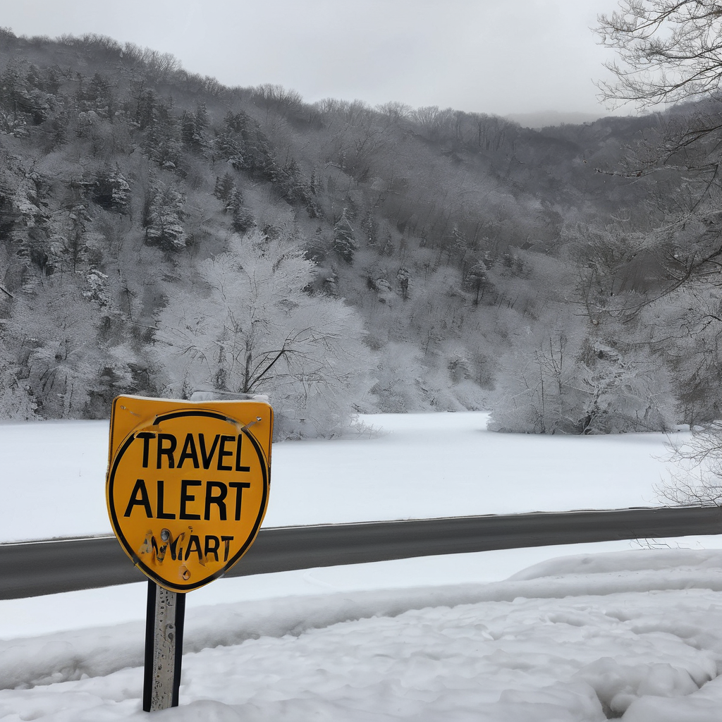
BRIDGEPORT, W.Va. – Travel conditions are expected to be challenging on Tuesday morning as a mix of snow, rain, and ice moves into the region. Starting around 3:00 AM, these mixed precipitation types will spread across North Central West Virginia by sunrise, creating a potentially hazardous situation on the roads.
Tuesday will see a significant shift in weather, described as the “quiet before the storm.” Early in the day, temperatures will be cold with intermittent clouds and sun. As the storm system approaches, rain, snow, and ice are forecasted from 3:00 AM to 7:00 AM. The mountain areas of Preston, Pocahontas, Randolph, and Tucker counties are expected to experience the highest risk for icy conditions, while snow will be most likely near the Ohio River and north of US-50. In other areas, primarily rain will prevail, although the potential for wet snow to start before turning to rain exists.
From 7:00 AM until 1:00 PM, rain is expected to transition to snow showers west of I-79 as colder air moves in. The icy conditions in the mountains will gradually shift away from North Central West Virginia, with snow levels rising and rain likely taking over at lower elevations. However, higher elevations may remain cold enough to sustain snow and ice for longer periods.
During the afternoon, from 1:00 PM until midnight, a significant transition is expected where precipitation will predominantly manifest as snow across all elevations, likely tapering off before sunset with the potential for additional light accumulation. Mountainous areas may continue to see some snow overnight.
Snowfall totals will heavily depend on the movement and intensity of the warm air mass associated with this storm system. If the warm air advances farther north, lower snow totals may result, while a more southern track could lead to higher accumulations. The amount of precipitation that falls as rain instead of snow will also hinge on temperature fluctuations near the freezing mark in the lower levels of the atmosphere.
Following the storm, Wednesday is predicted to be dry and cold with some sunshine. A few snow showers are expected on Thursday morning, and another wave of rain and snow showers may arrive on Friday, particularly south of US-33. The snow versus rain scenario will be determined largely by elevation. Towards the end of the week, expect colder and drier conditions on Saturday and Sunday moving into the following week.
As winter weather continues, residents are urged to stay informed and take necessary precautions when traveling during these inclement conditions.