
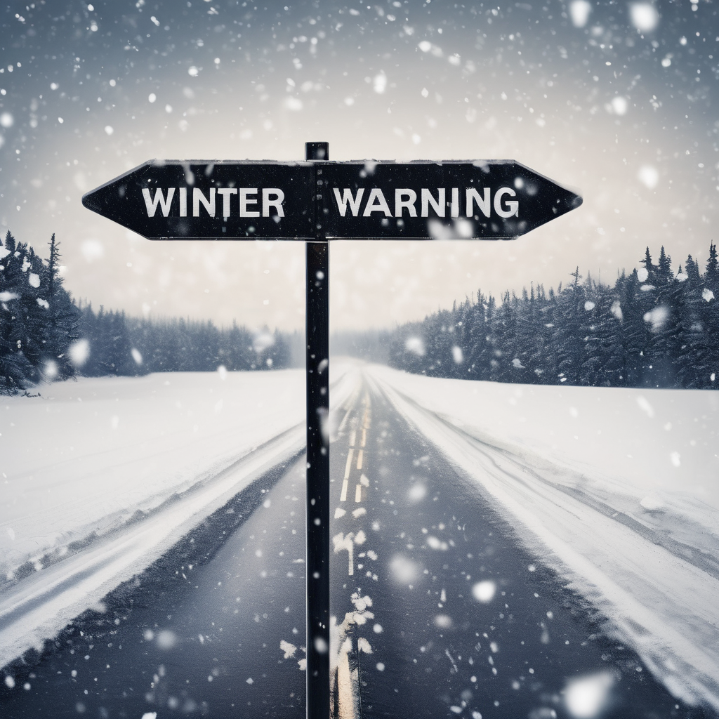
A significant weather event is brewing in the central and eastern United States, as a powerful storm system approaches later this week. While much of the eastern two-thirds of the country is experiencing a temporary respite from the recent cold temperatures, a mix of wintry precipitation including snow and ice is expected to impact the Upper Midwest and Northeast starting midweek.
In particular, areas north of Interstate 80 will see a combination of sleet, freezing rain, and snow, with the potential for hazardous travel conditions, particularly on untreated roads. States such as Minnesota, Wisconsin, Michigan, New York, and parts of New England are likely to be under an icy grip, with AccuWeather predicting accumulations of 1-6 inches of snow in certain regions and possibly up to 12 inches in localized areas of southern Quebec and parts of New England.
While the southern parts of the storm track may bring rain showers or a wintry mix, including sleet, the northern regions will face more substantial challenges. Travel disruptions are expected as light ice accumulation can be particularly treacherous, exacerbating the risks on the roads.
Simultaneously, a separate storm system emerging from the West is set to affect dozens of states, delivering both rain and snow as it moves across the Rockies toward the Great Lakes by late Thursday. The latter part of the week is expected to see a significant transition with possible severe thunderstorms across parts of eastern Oklahoma, northeastern Texas, and the lower Mississippi and Ohio valleys. The wide-ranging impact of the storm will include not only precipitation types but also wind changes as colder air moves into the area.
As this multifaceted storm system progresses, meteorologists will continue to monitor its development to provide timely alerts on potential severe weather. Travelers can expect conditions to improve briefly from Tuesday to Wednesday, but those conditions are likely to deteriorate again as the major storm approaches, particularly impacting transportation networks, including airports, as the weekend nears.
As always, preparation is key for navigating these winter weather challenges, and keeping abreast of forecast updates through reliable channels will remain crucial for safety and planning in the days ahead.