
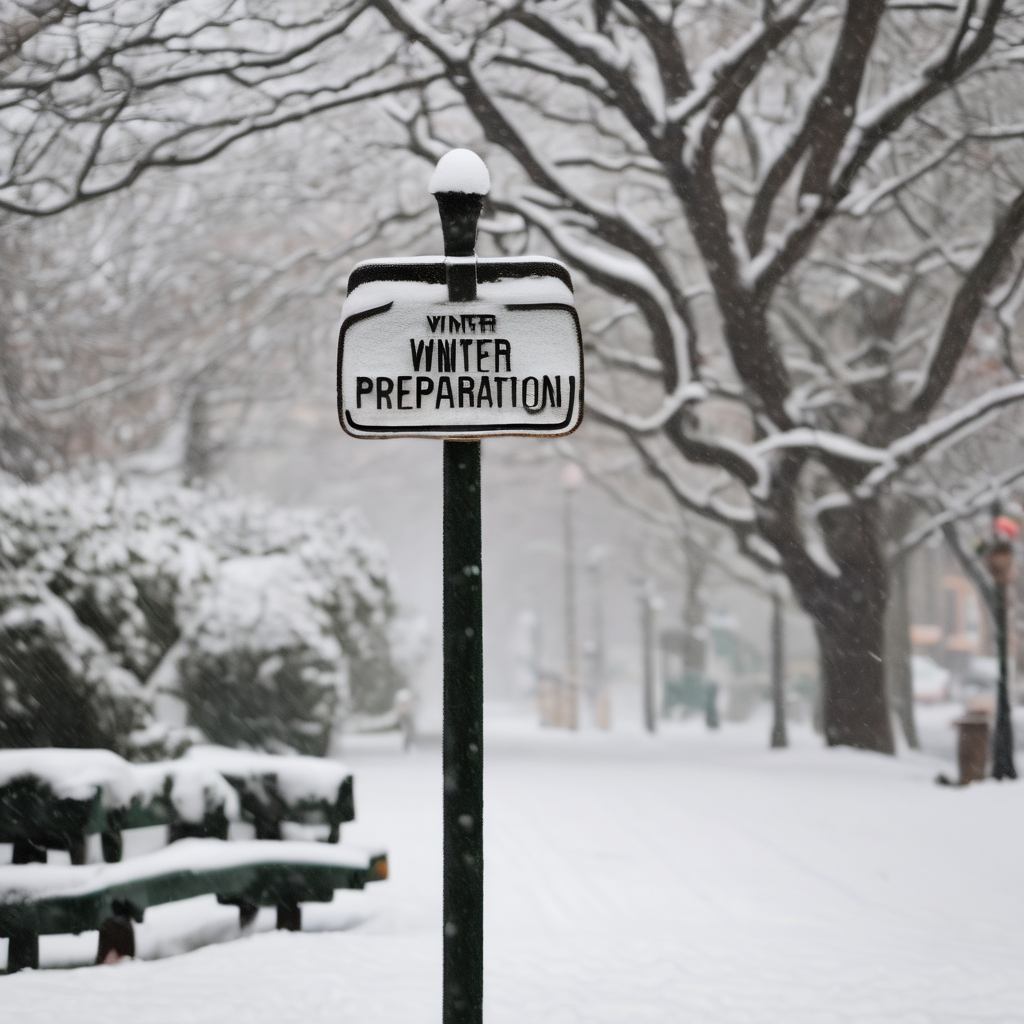
The recent winter storm that hit on January 25 has brought about significant changes in the weather landscape for the Philadelphia region. Following a weekend of melting ice and snow, residents are preparing for the possibility of another round of snow. The National Weather Service has raised the likelihood of precipitation to 80%, forecasting a 60% chance for accumulations of two inches or more and a 30% possibility of at least six inches of snow by early next week.
Richard G. Bann, a forecaster with the NOAA’s Weather Prediction Center, noted that while predictions are still evolving, the uncertainty surrounding the storm remains high. Current computer models show a broad range of potential outcomes, from light snow flurries to more substantial snow accumulation and subsequent impacts on travel and school closures.
In addition to snow, there is a risk of coastal flooding due to strong onshore winds associated with the upcoming storm. Bann emphasized the unpredictability of this storm, stating that while they cannot rule out extremes, more predictable data should emerge shortly.
As for timing, snow is anticipated to start in the Philadelphia area late Sunday morning or in the afternoon, possibly continuing into Monday. The intensity will hinge on the storm’s strength, location, and trajectory. While the U.S. model suggests a significant snowfall along I-95, other models are less optimistic, leaving residents in anticipation.
On a positive note, the current forecast indicates no ice, which could alleviate some complications compared to previous storms. The remnants of the January 25’s snowpack are likely to be eliminated by the new snowfall, as recent warm temperatures and rain have already begun to clear outdoor areas. Philadelphia experienced a notable rainfall on Friday that contributed to melting the stubborn snowpack, which had been compounded by sleet and an Arctic freeze.
With the winter season still in full swing, residents are encouraged to stay informed as the weather evolves, looking forward to clearer yards and a more manageable winter situation in the days ahead.