
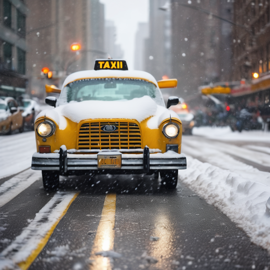
New York City experienced its first snowfall of the season on Tuesday, as a powerful polar vortex moved across the eastern United States, bringing sub-zero temperatures. The National Weather Service forecasts high temperatures to remain in the low 40s, accompanied by wind-chill factors between 25 to 35 degrees due to gusts reaching up to 40 mph.
Scattered flurries began to fill the skies in the morning, although little to no accumulation is expected, according to meteorologists. Fox Weather’s Stephen McCloud mentioned that the likelihood of significant snowfall is low due to insufficient available moisture.
The polar vortex has funneled frigid Arctic air from Canada into New York, impacting approximately 100 million residents across the region, including areas under freeze warnings in the tri-state area. McCloud explained, “A strong dip in the jet stream has led to the invasion of cold air from Canada into the Eastern US.”
Although temperatures are predicted to gradually rise into the 40s throughout the day, they are expected to trend back towards seasonal averages by Wednesday. The most substantial snowfall from this weather event is anticipated to occur across the Great Lakes and the interior Northeast.
City officials are urging residents to dress warmly and exercise caution while navigating roads and sidewalks, as icy conditions and frost formation on windshields pose risks. This early reminder of winter serves as an invitation to embrace the seasonal transition, creating a picturesque environment around the city.