
A winter storm warning is currently in effect for much of central and eastern Montana, particularly east of Interstate 15, and will last through Friday evening or Saturday morning. Additionally, a winter weather advisory has been issued for parts of central and north-central Montana and northeastern Montana, which will also remain in effect until Saturday morning.
The region is experiencing a dramatic shift in temperatures as an arctic cold front has pushed southward. While temperatures rose into the 40s and 50s earlier this morning, the mercury has since plummeted, with many areas in north-central Montana now recording single digits and teens. Rain showers have transitioned to snow, leading to slick roads following a flash freeze earlier today and light to moderate snowfall in various areas.
For the forecast ahead, scattered snow showers are expected to persist into tonight across north-central Montana, with more substantial snowfall developing later. The bulk of the snow is anticipated tomorrow, particularly east of I-15, before tapering off in the evening. By Saturday, mostly cloudy skies will prevail, with a few lingering snow showers during the morning hours.
In Helena, the weather will exhibit a mix of rain, freezing rain, and snow this evening, transitioning to widespread snow overnight and possibly mixing with rain tomorrow morning. Conditions will dry out by the late morning, although isolated snow or rain showers may occur in the mountains in the afternoon and evening. Expect mostly cloudy skies with lingering mountain snow showers on Saturday morning.
Snowfall projections indicate 2-7 inches along the Rocky Mountain Front, with mountainous regions potentially receiving over a foot. Areas east of the Rocky Mountain Front and out to I-15 may see 1-6 inches, while north-central Montana could receive between 5-15 inches of snow. In northeastern Montana, expected snowfall is forecasted to range from 1-10 inches, decreasing in amounts further northeast. The Helena area might see up to 5 inches, with lesser amounts to the south.
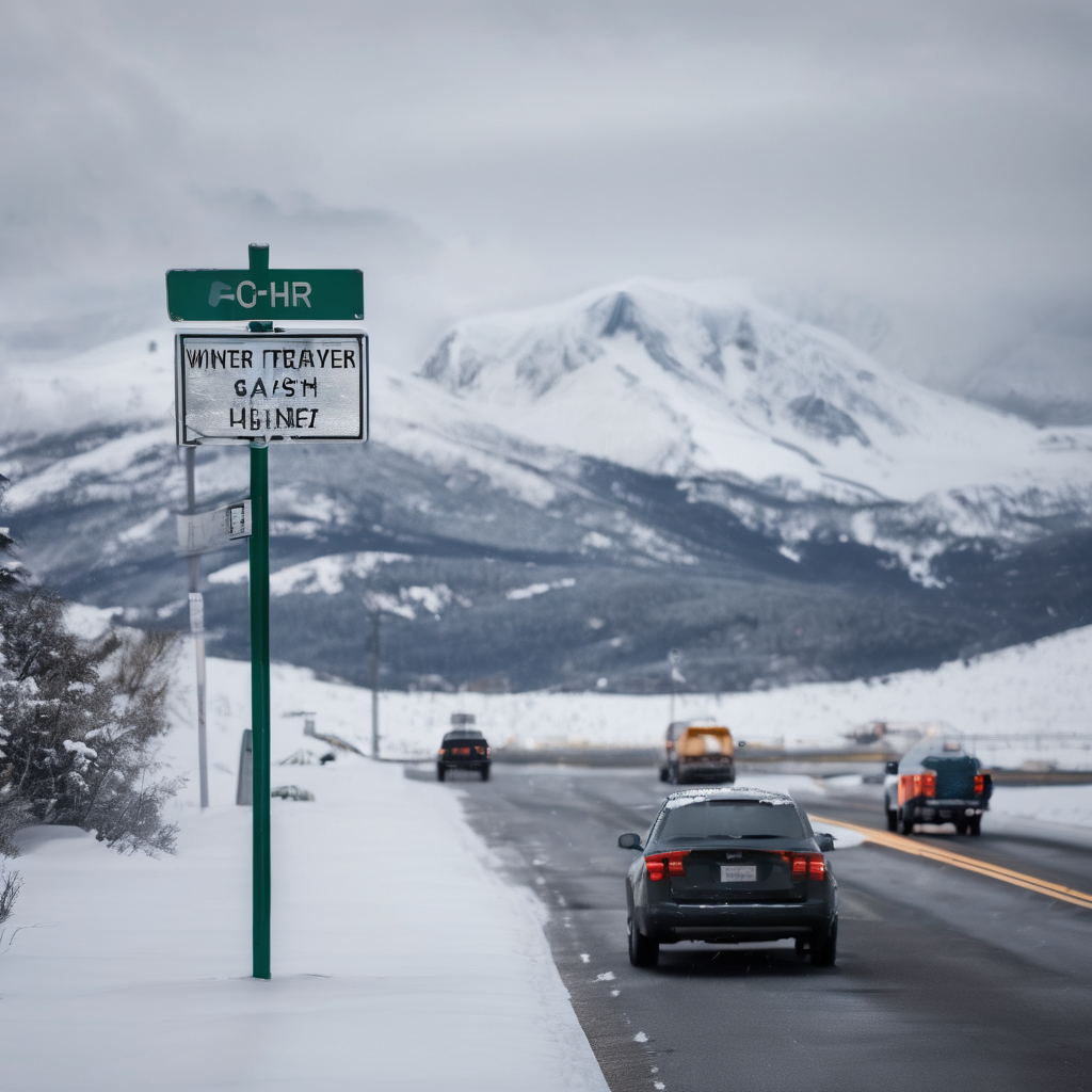
Travel conditions are expected to be treacherous through Saturday morning, particularly in areas east of I-15 and in higher terrain, urging travelers to exercise caution and allocate extra time for their journeys.
As for wind conditions, tonight will be relatively calm; however, eastern parts of north-central Montana may experience breezy conditions. Gusty winds are anticipated tomorrow and Saturday near the Divide, along the Rocky Mountain Front, and in higher terrain, with gusts potentially reaching 50 mph. Despite being breezy, most areas will see winds ranging from 5-20 mph.
The region will face frigid temperatures, with lows in the -0s and 0s overnight, and high temperatures tomorrow only reaching the 0s and 10s in north-central areas. The Helena area will experience milder conditions with lows in the teens, 20s, and 30s, and highs in the 30s and 40s.
Looking ahead, milder weather is expected to return on Sunday and into early next week, with temperatures climbing back into the 40s and low to mid 50s. Winds will also pick up considerably, leading to gusty conditions and potential gusts exceeding 60 mph along the Rocky Mountain Front. Dry conditions will likely prevail on Sunday and Monday, with scattered rain and mountain snow showers entering the forecast by Tuesday and Wednesday.