
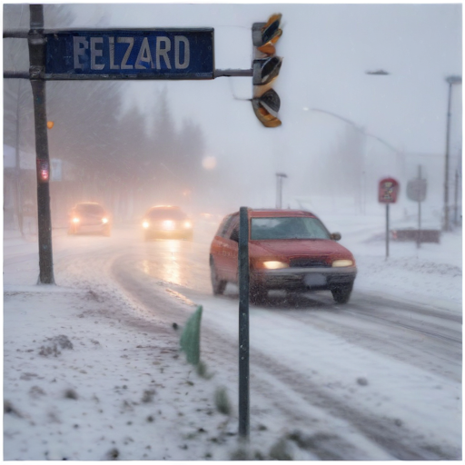
A Blizzard Warning has been issued by the National Weather Service for parts of Kansas and northern Missouri, impacting areas including Leavenworth, Platte, and Clay counties around the Kansas City metro. The warning takes effect at 3 a.m. Sunday and lasts until 3 a.m. Monday, predicting significant snowfall of over a foot in some regions, accompanied by wind gusts exceeding 40 mph.
Visibility is expected to drop to as low as one-quarter of a mile, raising concerns for travel safety, which should be limited to emergencies during this period. Additionally, a Winter Storm Warning will cover the entire viewing area until the end of the Blizzard Warning.
On Saturday, freezing rain and a wintry mix have already started to affect the area, arriving from the south and west. While some models suggest a widespread event, the precipitation’s current intensity may be less significant than predicted, which could prevent heavy ice accumulation.
Forecasts indicate that the most significant snowfall will occur along and north of Interstate 70, projecting totals of 7-12 inches, while areas south of I-70 may see 5-10 inches. However, regions further east, such as Clinton and Warsaw, could experience more ice, leading to lower snow totals if the transition to snow happens more quickly than anticipated.
The National Weather Service warns of potential blizzard conditions from Highway 36, which spans from I-29 to I-35, creating travel hazards over a large area. Wind gusts are expected to become more intense by Sunday morning, emphasizing the need for caution.
As communities prepare for this weather event, it’s important to stay updated with new information and forecasts to ensure safe travels and readiness for the winter conditions ahead. With proper preparation and awareness, residents can navigate through these challenging weather conditions.