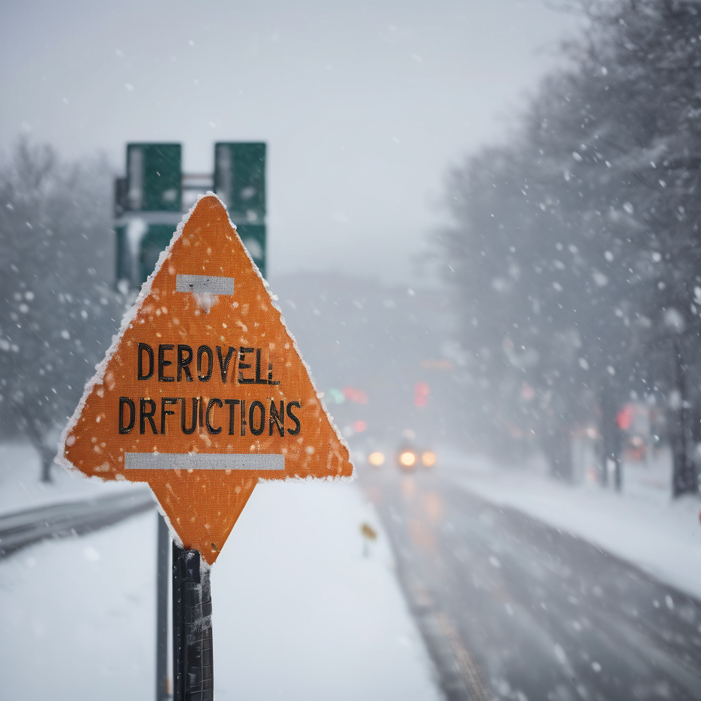
On January 14th, temperatures in southeast Michigan began in the upper 30s to lower 40s during the early morning hours. This relatively mild weather was disrupted by an approaching Arctic front, leading to a rapid temperature drop into the 20s by the afternoon. Light rain and drizzle were observed before the frigid air moved in, setting the stage for significant snow showers mainly concentrated south of I-69.
The combination of an upper-level wave and cold northerly winds from Lake Huron resulted in heavy snow showers, particularly affecting the Detroit Metro area. By January 15th, total snowfall accumulations in this region ranged between 3 to 6 inches, with the dry, powdery nature of the snow contributing to these high totals. In contrast, areas further north, such as the Tri-Cities region, experienced only a dusting to half an inch of snow. The Thumb region exhibited a stark accumulation gradient that varied from 1 to 6 inches.
This winter weather created hazardous conditions for the evening commute on January 14th, leading to numerous spin-outs and accidents. The earlier warm temperatures combined with light rain created a layer of ice beneath the snow, making travel exceptionally dangerous. At Detroit Metro Airport, the impact was significant, with 296 flight delays and 85 cancellations reported. The harsh Arctic air hindered the effectiveness of road treatment options overnight, resulting in the cancellation of school classes across the region on January 15th.
While the snowfall caused significant disruptions, it also serves as a reminder of the dynamic weather patterns typical of winter in the Midwest, leaving residents to navigate both the challenges and beauty of the season.
