
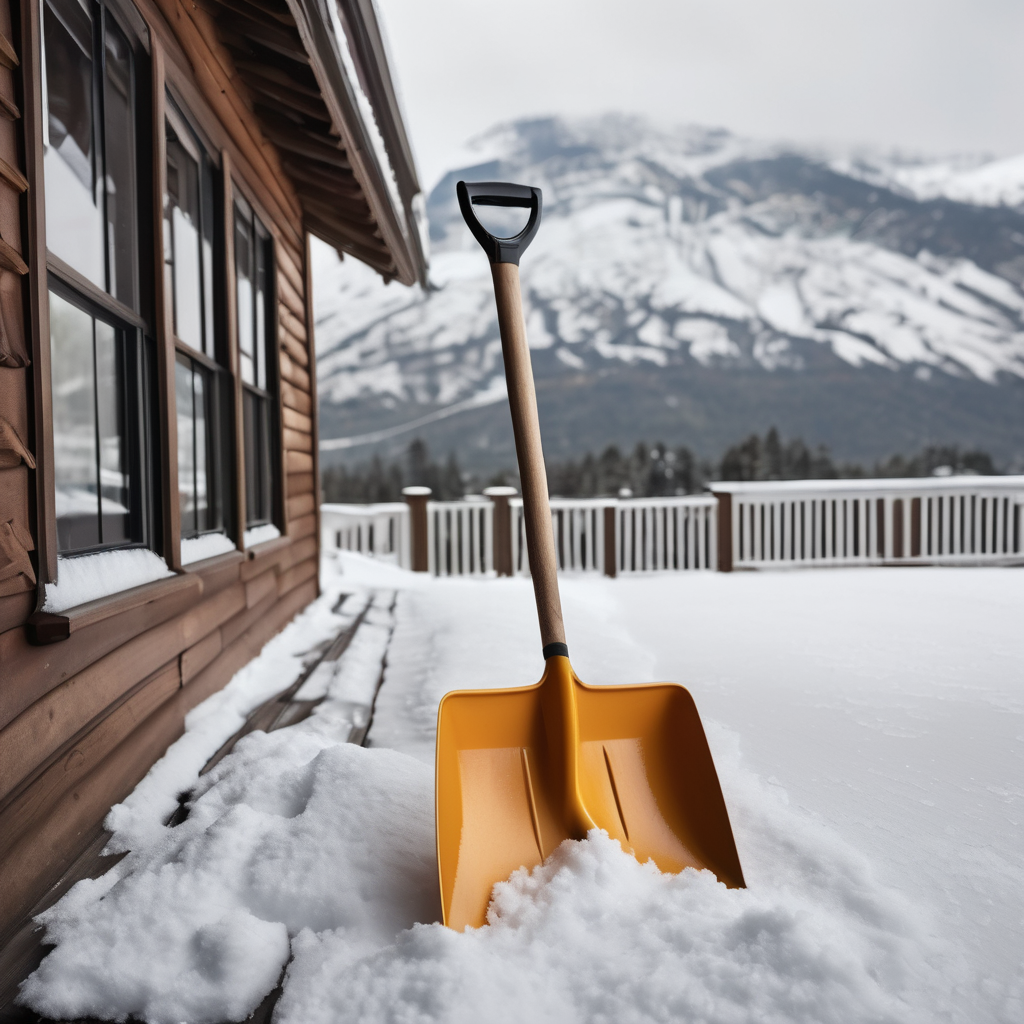
A significant winter storm is poised to impact the U.S. Southwest this week, with expectations of up to 20 inches of snow in certain areas. The National Weather Service (NWS) in Salt Lake City, Utah, issued a winter storm watch early Wednesday, set to last until Friday afternoon for several mountainous regions, including the Wasatch, Western Uinta, and Central Mountains. The alert warns of heavy snowfall starting early Thursday, which could severely disrupt travel.
Meteorologist Phil Ware indicated that parts of the watch area may be upgraded to a winter storm warning later in the day. The impending storm poses concerns for drivers, particularly on mountain passes that might become snow-covered, increasing the likelihood of travel issues. Notable routes such as Mirror Lake Highway, Logan Summit, Alta, and Brighton are anticipated to face hazardous conditions. Authorities recommend that drivers stay updated on local conditions and heed real-time information from Utah transportation officials.
Heavy snowfall is a major concern within the Upper Cottonwoods, where totals could reach 20 inches, driven by a cold front that will trigger intense snow periods followed by additional precipitation through Friday morning. Expected snowfall across other parts of the watch area ranges from 6 to 14 inches. A lull in snow is anticipated Thursday afternoon before new snow develops overnight, necessitating caution for travelers.
A winter storm watch indicates that conditions may lead to significant snowfall, allowing meteorologists to monitor the situation. Conversely, a winter storm warning is issued when severe weather is either happening or imminent, highlighting the need for residents to prepare for impactful snowfall.
As of Wednesday morning, Utah remains under a winter storm watch, with heavy snow likely, although timing and intensity of snowfall are being refined as the storm progresses. Additionally, much of the state is under a winter weather advisory, with predictions of up to 9 inches of snow in a wider region stretching from southern Utah near St. George to areas near Salt Lake City.
The community is encouraged to remain vigilant and proactive as the storm approaches, ensuring safety on the roads and preparedness for winter weather challenges.