
A significant winter weather event is set to impact the Tri-State area this weekend, with snow and severe cold temperatures posing potential hazards for residents. Eyewitness News and the AccuWeather team are advising viewers to stay updated as the situation unfolds.
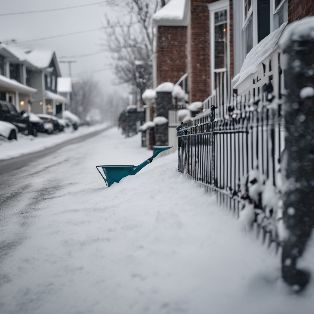
Snow flurries are expected to begin Friday night, with most areas anticipating a light dusting of up to an inch. However, select regions—including parts of the Hudson Valley, Long Island, the Catskills, and the Poconos—may receive 1 to 3 inches, with the possibility of heavier snow squalls occurring after midnight into early Saturday morning. These conditions may reduce visibility significantly, resulting in slippery roads and hazardous travel.
The primary concern shifts to a bitter Arctic air mass that will surge into the area early Saturday, accompanied by rapidly strengthening winds. Gusts could reach between 40 to 50 mph later in the day, leading to dangerously low wind chill values across the entire region. In New York City, wind chills may plummet to between 10 and 15 degrees below zero, while areas to the north and west could experience wind chills as low as 20 to 30 degrees below zero. With frostbite potential in less than 30 minutes under these conditions, cold weather watches are currently in effect and may soon be upgraded to warnings.
As Sunday morning approaches, it is forecasted to be the coldest of the winter so far, with temperatures hovering near 6 degrees and wind chills well below freezing.
Residents are urged to limit their outdoor time this weekend, dress in layers, and use Friday to prepare for the impending severe cold. The community is encouraged to remain vigilant and stay informed through the updates provided by Eyewitness News and the AccuWeather team as the powerful winter weather arrives.