
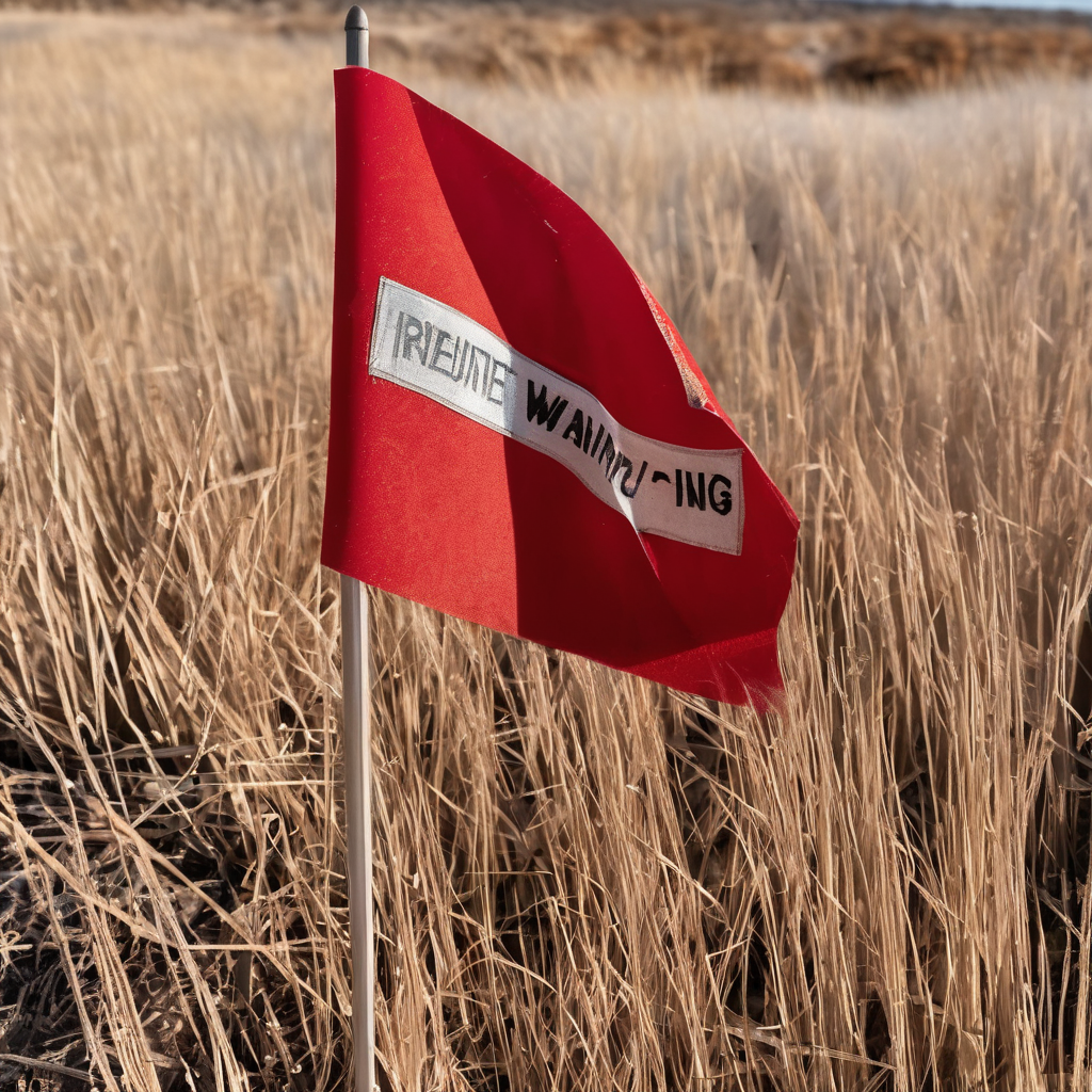
Southeast Texas is bracing for a tumultuous weather week, characterized by both fire risk and cold temperatures. A Red Flag Warning is in effect, with elevated to critical fire weather conditions anticipated on Monday due to gusty northerly winds coupled with dry air. This means that if a fire ignites, it could spread swiftly. Consequently, outdoor fires are strongly discouraged, and burn bans remain enforced across the state.
The region is also preparing for two cold nights ahead, particularly affecting Polk, Trinity, and Walker Counties, which are under a Freeze Warning from 9 PM Sunday until 9 AM Monday. As temperatures drop tonight and into Tuesday, overnight lows are expected to fall into the low 40s, while areas north of Houston may see temperatures dip into the mid to upper 30s. Wind chills are likely to bring feels-like temperatures into the 20s and 30s, making it essential for residents, especially children waiting at bus stops, to bundle up. These low temperatures are reminiscent of chills not felt since February, and frost could form on the ground during these brisk mornings.
However, as the week progresses, a warm-up is on the horizon. By midweek, temperatures are projected to climb back into the 80s and remain elevated into the weekend. Expect another front to move in, bringing with it the potential for rain, particularly overnight from Saturday into Sunday.
In regard to tropical activity, the Atlantic Basin is expected to remain quiet over the next week, with minimal chances for any tropical cyclones in the Gulf for the remainder of the month. As the hurricane season draws to a close, this trend indicates a winding down of activity, providing some reassurance to residents after a notably active season.