
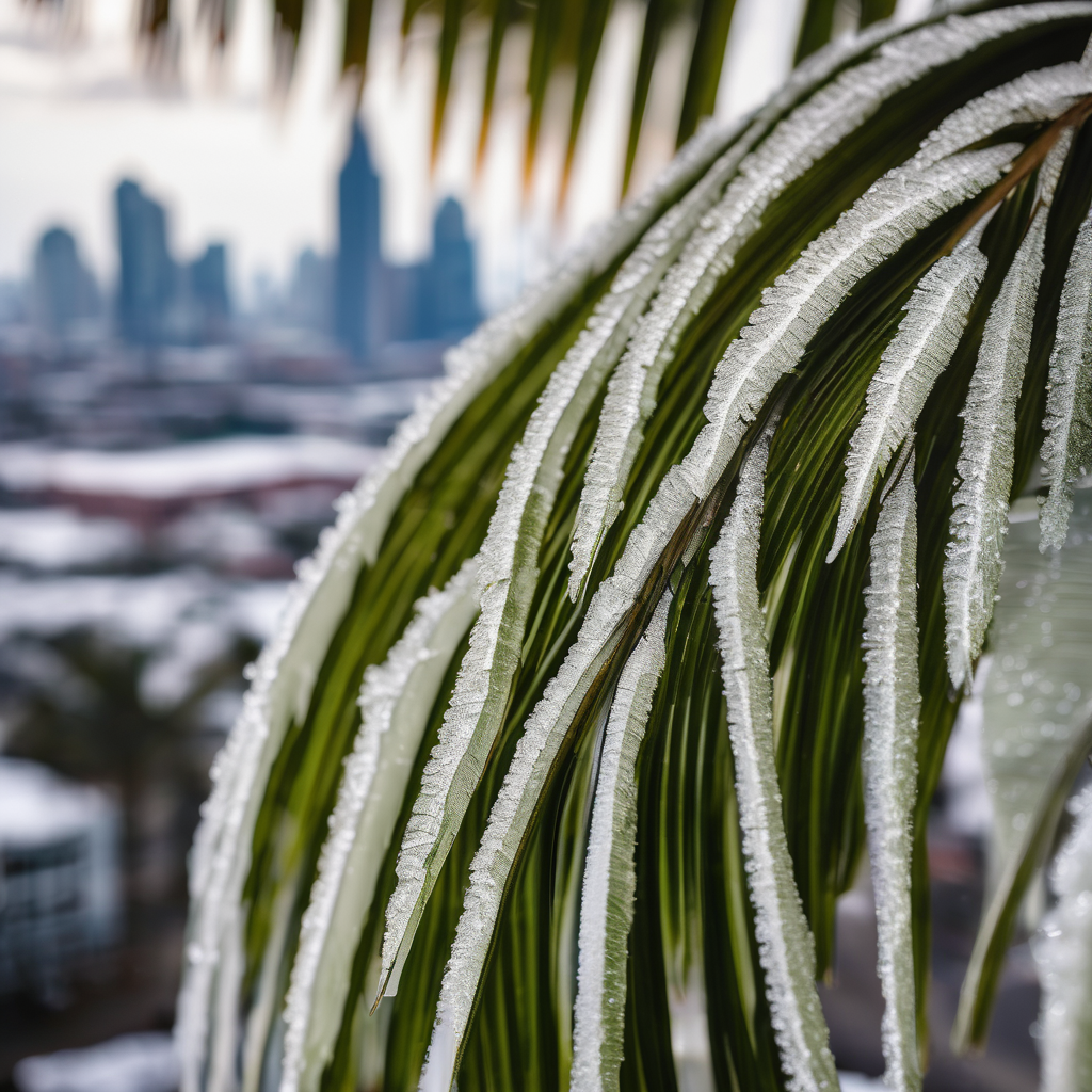
PANAMA CITY, Fla. – A First Alert Weather Day has been declared as Panama City prepares for a hard freeze overnight into Friday morning, particularly inland. Coastal areas are expected to experience a light freeze.
Temperatures are forecasted to plummet to the low to mid 20s inland and range from the upper 20s to low 30s along the coastline. The chilly conditions will be exacerbated by a breezy wind, creating wind chills that will make it feel several degrees colder.
Looking ahead, residents can expect a warm-up on Friday afternoon with temperatures climbing back into the low 60s and plenty of sunshine. However, the weekend forecast indicates a slight drop, with highs near 60 again on Saturday, accompanied by scattered rain showers throughout the day. As temperatures dip on Saturday night into Sunday morning, there exists a small chance for snow flurries in inland areas before the moisture dissipates. This potential for snow is especially noteworthy for Florida, where such occurrences are rare.
Updates on this evolving weather situation will be provided in the coming days. For ongoing coverage and the latest news, follow WJHG across social media platforms and keep an eye on the WJHG News app and Weather app for real-time updates.
Stay safe and warm as you prepare for these winter elements.