
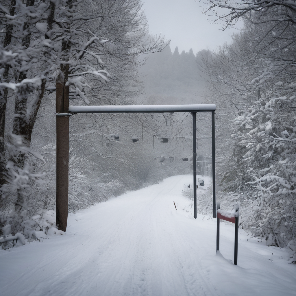
A significant weather event is on the horizon for Ontario as 2025 draws to a close, with another powerful storm set to impact the region following the Boxing Day storm. This upcoming system is being classified as a Colorado low, characterized by its potential to rapidly intensify due to a dynamic atmospheric environment and significant moisture influx from the south.
As the storm approaches the Great Lakes on Sunday, it is expected to meet ‘weather bomb’ criteria, which refers to a quick drop in pressure that generates severe weather. Residents across Ontario should prepare for a hazardous mix of conditions, including blizzard conditions, ice storms, and potential flooding rains.
Notably, Eastern Ontario, particularly the Ottawa region, is bracing for an ice storm that could begin on Sunday and last for an extended period. Forecasts indicate that this ice event may last anywhere from 8 to 15 hours, leading to substantial ice accumulation of 5 to 15 millimeters. Additionally, areas such as Manitoulin Island and regions east of Georgian Bay are also expected to face similar challenges associated with prolonged freezing rain.
As the winter season progresses, it’s imperative for individuals to stay updated with local weather alerts and forecasts to navigate these potentially treacherous conditions safely. Preparing in advance can help mitigate the impact of this high-impact winter storm.