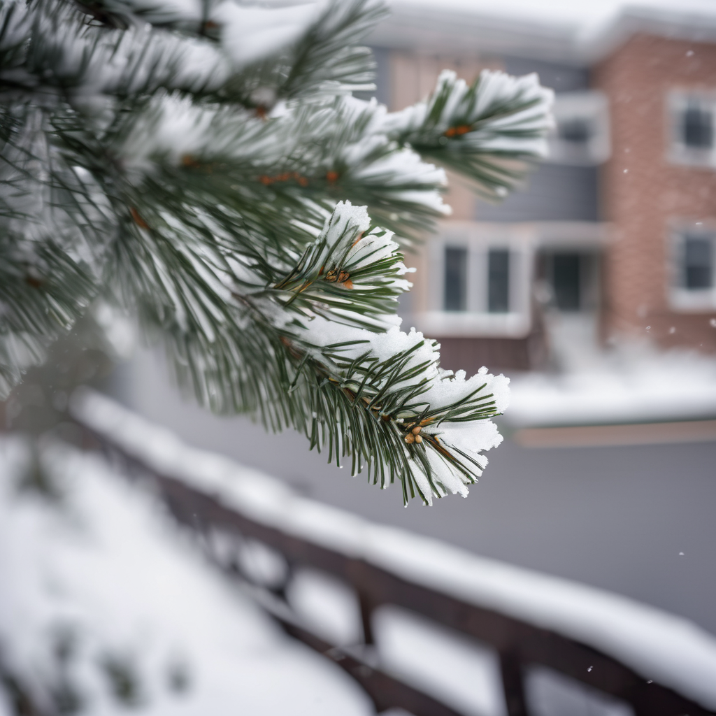
After a recent blast of frigid air, the Northeast is bracing for its coldest temperatures of the season this weekend, accompanied by snow in several regions. While many areas will experience harsh conditions, a warming trend is anticipated to follow next week.
This weekend, the Northeast will endure significant cold as a potent weather system moves through, bringing with it snowfall. On Friday morning, Michigan, Indiana, and Ohio will likely see snow showers, resulting in a light dusting of up to 2 inches. The snow will continue southward through eastern Kentucky and into western Pennsylvania throughout Friday afternoon.
As the system progresses Friday evening, snow will spread across Appalachia, including upstate New York, potentially delivering an additional 2 inches for cities like Pittsburgh. By Saturday, New England, particularly areas north of New York City, is expected to enter the storm zone. Boston might receive 1 to 2 inches, with regions along the eastern I-90 corridor seeing totals of 2 to 4 inches, affecting cities from Syracuse to Buffalo.
Accompanying the snowfall will be strong winds, leading to dangerously low wind chill values across the region. An extreme cold watch is currently in effect from Friday night through Sunday morning, with wind chills in areas like Lake Placid reaching as low as -35 degrees Fahrenheit, which can result in frostbite within minutes.
In New York City, high temperatures will barely rise above the 20s on Saturday and could plunge into the single digits by Sunday morning. Wind chills may hover around or below zero, with potentially dangerous gusts reaching up to 50 mph on Saturday. In Boston and Buffalo, temperatures may feel like the negative teens on Sunday morning.
Fortunately, a shift in the weather pattern is on the horizon for next week. Warmer temperatures, possibly above average, are forecasted for the East by mid to late week. While the chill may remain somewhat persistent, the anticipated relief will be welcomed after the recent severe cold, likely resulting in a more bearable atmosphere. This transition will provide a stark contrast to the winter’s harsh grip, offering hope for a milder week ahead.
