
For many years, weather forecasting has encountered a significant challenge concerning data collection in the lower atmosphere, specifically between 50 feet and 20,000 feet above ground. This crucial atmospheric layer is where many disruptive weather systems form—including fog, storms, and dangerous low-level winds. However, this gap is beginning to close with the introduction of drone technology.
In a pioneering effort, weather intelligence company Meteomatics is collaborating with the National Oceanic and Atmospheric Administration (NOAA) to integrate operational weather drone data into the National Weather Service for the first time. This initiative aims to enhance the existing data collection to help improve weather forecasts and warnings.
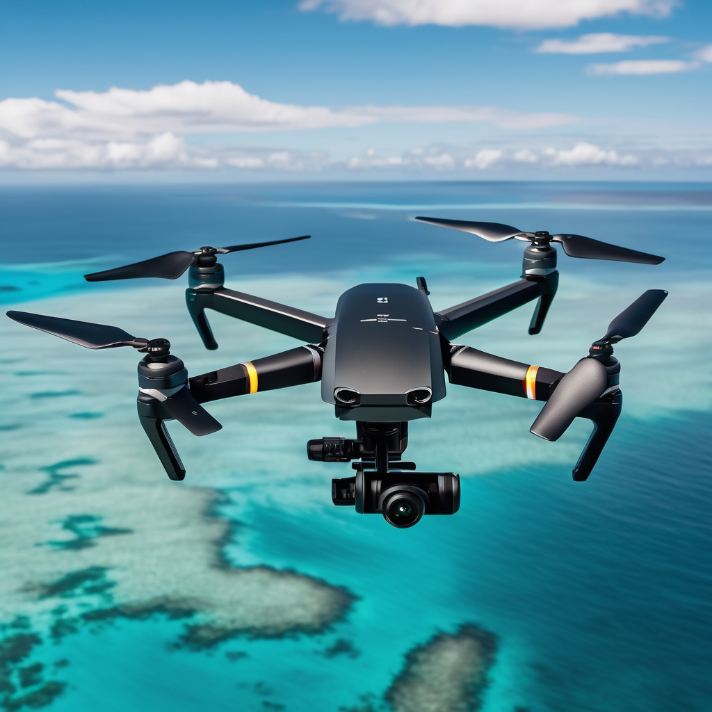
Through the National Mesonet Program, Meteomatics’ autonomous drones, known as Meteodrones, will collect vital atmospheric data, including temperature, humidity, and wind profiles. These measurements are crucial in forecasting high-impact weather events. The continuous and high-resolution data that these drones provide will allow meteorologists to better anticipate when thunderstorms might form, how long fog will linger, and the nature of precipitation during winter storms, whether it be rain, snow, or ice.
The partnership builds on previous NOAA efforts focused on evaluating the efficacy of weather drones in real-world conditions. In June 2024, the National Weather Service initiated drone-based atmospheric research at the GrandSKY Flight Operations Center in North Dakota, testing whether drone data could enhance forecast accuracy. This latest collaboration signifies a pivotal step toward transitioning drone data from research to practical forecasting applications, aiding daily weather predictions.
As part of a pilot project under the National Mesonet Program, Meteomatics is conducting routine drone operations from a centralized remotely operated Meteobase in Oklahoma until April 2026. This system allows for efficient management of multiple drone sites, thus facilitating a broader data collection network.
The integration of drone observations will notably enhance forecasts and timely warnings for various sectors, including aviation, transportation, utilities, agriculture, and emergency management. The National Mesonet Program currently aggregates data from over 35,000 observation platforms across the United States, and incorporating drone data helps address one of the program’s long-standing blind spots.
Meteomatics CEO Martin Fengler emphasized the importance of public-private partnerships in enhancing national weather observation capabilities, stating that Meteodrones are specifically designed to gather data that traditional systems often overlook. This sentiment was echoed by Synoptic Data President Ashish Raval, who highlighted the goal of providing NOAA and the National Weather Service with high-quality, immediate data. KBR’s National Mesonet Program manager Ellen Cousins also recognized the integration of drone data as a significant advancement in strengthening vertical profiling within the weather observing system.
As weather events become increasingly frequent and severe, the improved data collection capabilities offered by these drones could be crucial not only for forecasters but also for the millions of Americans who depend on accurate weather warnings.