
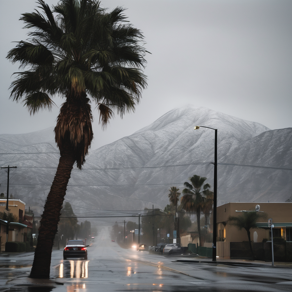
Another storm system is set to envelop Southern California with rain and snow beginning Thursday afternoon. This latest cold front arrives on the heels of a significant rain event that recently battered the region, breaking rainfall records across Santa Barbara, Ventura, and Los Angeles counties.
According to forecasts from the National Weather Service, the heaviest rainfall is anticipated overnight from Thursday into Friday, with expected totals ranging from half an inch to 1 inch in most areas, and potentially more in foothill and mountain locations. Although heavy showers and thunderstorms are predicted, the NWS does not foresee issuing flood watches at this time. Nevertheless, residents are encouraged to stay informed through official emergency messaging, especially given the ground saturation from earlier storms which raised concerns about debris flows.
In conjunction with the rain, local mountains are likely to receive 3 to 6 inches of snow at elevations above 6,000 feet, which could affect travel along the 5 Freeway through the Grapevine. The combination of rain and snow could disrupt outdoor plans, lead to isolated power outages, and result in downed trees.
Looking ahead, forecasters predict that high pressure will eventually restore normal temperatures and bring clear skies just in time for the Thanksgiving holiday week. This shift in weather will offer a welcome respite following the recent tumultuous conditions, bringing a sense of optimism as families and friends prepare to gather in the coming days.