
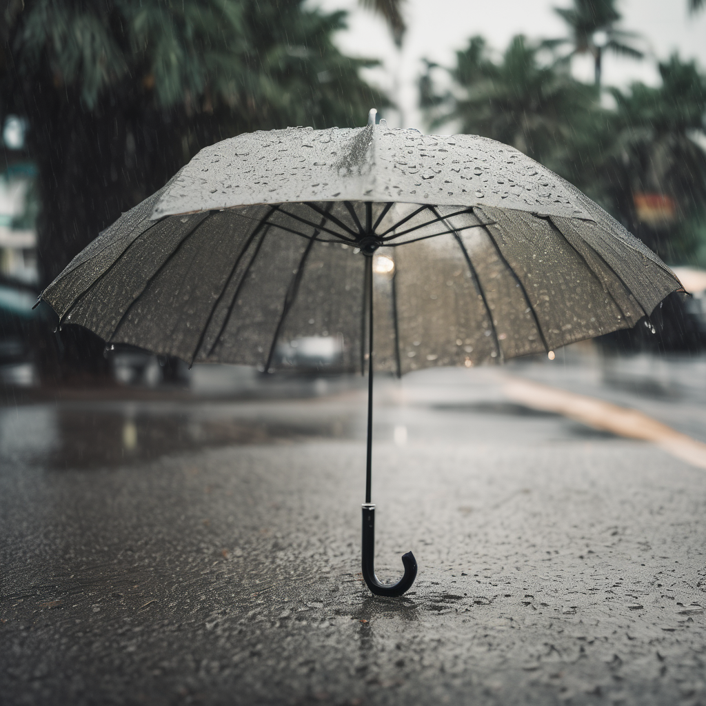
INDIANAPOLIS — Indiana is bracing for heavy rainfall and near-record temperatures that are expected to persist throughout the week. A flood watch has been issued for the southern two-thirds of central Indiana, set to remain in effect until Wednesday morning as meteorologists warn of additional significant rainfall.
Recently, over 3 inches of rain has fallen in parts of the southern metropolitan area, resulting in localized flooding. As a stalled frontal system continues to linger over the state, warm Gulf moisture is expected to fuel widespread rain and thunderstorms. Forecasts indicate that residents could see an additional 1 to 3 inches of rain today.
Early today, rain chances are likely to lessen briefly, but temperatures will still climb into the mid-50s and potentially low 60s in some areas south of Indianapolis. However, the threat of strong storms looms later tonight as showers and thunderstorms are anticipated to develop once more, with the southern third of the state under a Level 1 out of 5 risk for severe storms, primarily due to the possibility of large hail.
Looking ahead, Thursday is expected to bring continued wet conditions, with widespread showers and occasional thunderstorms. High temperatures are projected to reach the mid-60s. As the week progresses, Friday could record near-historic warmth, with highs expected to reach the mid-70s—20 to 30 degrees above the average temperature for this time of year. The current record high for Friday stands at 75 degrees, set in 1973, which could be at risk of being broken.
Rainfall forecasts indicate that an additional 3 to 5 inches could fall by the end of the week, heightening concerns for flooding along rivers and streams and in areas traditionally prone to such conditions. Residents should remain vigilant as flooding risks persist.
Although the current forecast is concerning, there is a glimmer of hope on the horizon. The extended outlook suggests that conditions will dry out briefly by the end of the weekend, with temperatures remaining above average. However, rain could return by the middle of next week as a shift to cooler temperatures is anticipated.
As Indiana faces this dramatic weather pattern, residents are encouraged to stay informed and prepared for the coming days.