
Lake-effect snow warnings have been issued in Erie and Crawford counties, remaining active until Friday, January 16, at 1 a.m. According to the National Weather Service office in Cleveland, heavy snowfall is expected in the Erie area, with additional accumulations ranging from 4 to 10 inches likely on January 15. The most significant snowfall is anticipated in the higher terrain of these counties.
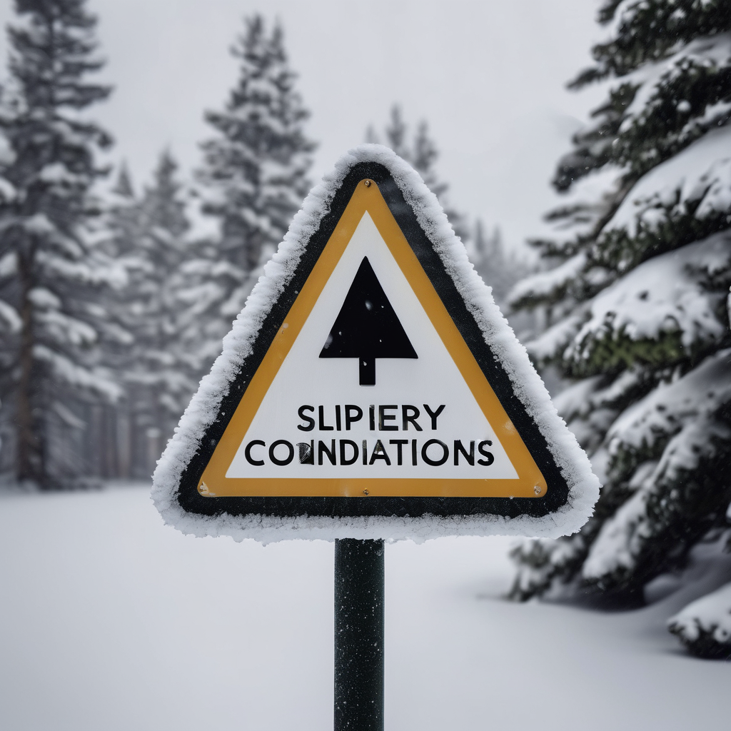
As conditions worsen, roadways, bridges, and overpasses could become slick and hazardous. In response to the severe weather, the Pennsylvania Department of Transportation has temporarily reduced the speed limit to 45 mph on several key highways throughout northwestern Pennsylvania, including Interstate 79, I-80, I-86, I-376, and I-90, as a precaution for drivers.
Forecasts for January 15 predict continued snowfall in the Erie area, with an estimated 3 to 7 inches expected, along with patchy blowing snow after 2 p.m. The temperature is anticipated to reach a high of around 22 degrees, but with wind chill values dropping to as low as zero due to northwestern winds at speeds of 16 to 20 mph. Snowfall is expected to taper off after 8 p.m., with nighttime lows around 16 degrees.
Residents are encouraged to stay updated on the weather conditions by checking local forecasts and using mobile apps like GoErie for real-time alerts and information tailored to their areas. This severe winter weather serves as a reminder of the power of nature and the importance of staying informed and prepared during hazardous conditions.