
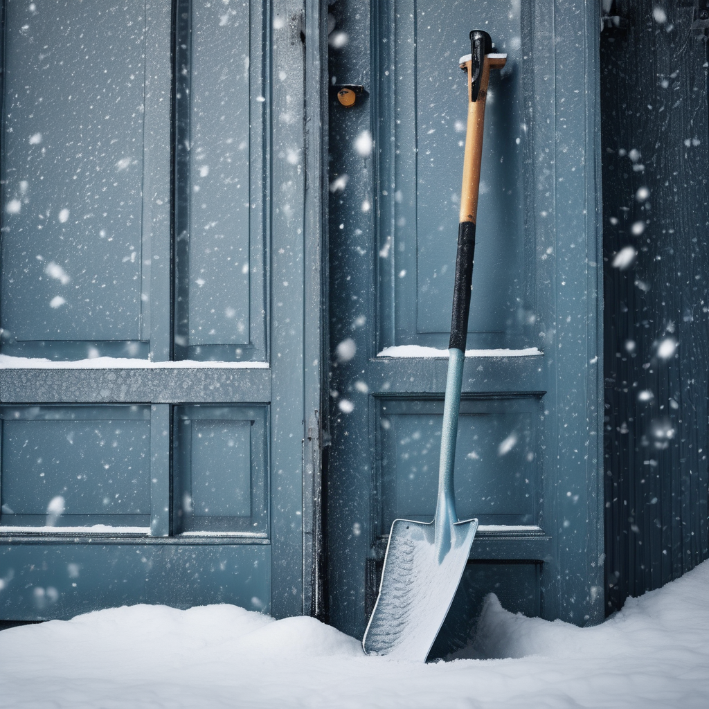
Des Moines is bracing for a significant winter storm as a blizzard warning is issued for many counties in northern Iowa on Sunday, December 28. Weather experts define a blizzard as a storm featuring strong winds, substantial amounts of snow or blowing snow, and poor visibility. According to the National Weather Service, for a storm to be classified as a blizzard, it must have wind speeds surpassing 35 mph and visibility dropping below one-quarter mile for a minimum of three hours.
The term ‘blizzard’ gained popularity after being published in an Estherville newspaper during the 1870s. Originally, the word referred to cannon fire but has since evolved to describe severe winter weather. Interestingly, while snow depth can vary, it is the intensity of the wind that defines this dangerous weather phenomenon.
The impending blizzard in Iowa is expected to bring between 2 to 6 inches of snow from noon to 6 p.m. on Sunday, accompanied by wind gusts reaching up to 55 mph or more. This combination poses a considerable risk as low visibility and potential whiteouts can occur, making travel exceedingly hazardous. The National Weather Service warns that these conditions can lead to disorientation and an increased likelihood of traffic accidents, as well as drivers becoming stranded in deep snowdrifts.
Historically, Iowa has experienced some memorable blizzards, recorded by the National Centers for Environmental Information and Project Des Moines, that have significantly impacted travel and safety. With safety as a priority, residents are advised to stay informed and take necessary precautions as the storm approaches.
Despite the challenges posed by severe winter weather, there is a sense of community resilience in Iowa. Residents often come together during such storms, offering assistance to neighbors and promoting safety in their localities. This spirit is vital in overcoming the hurdles of winter weather conditions.