
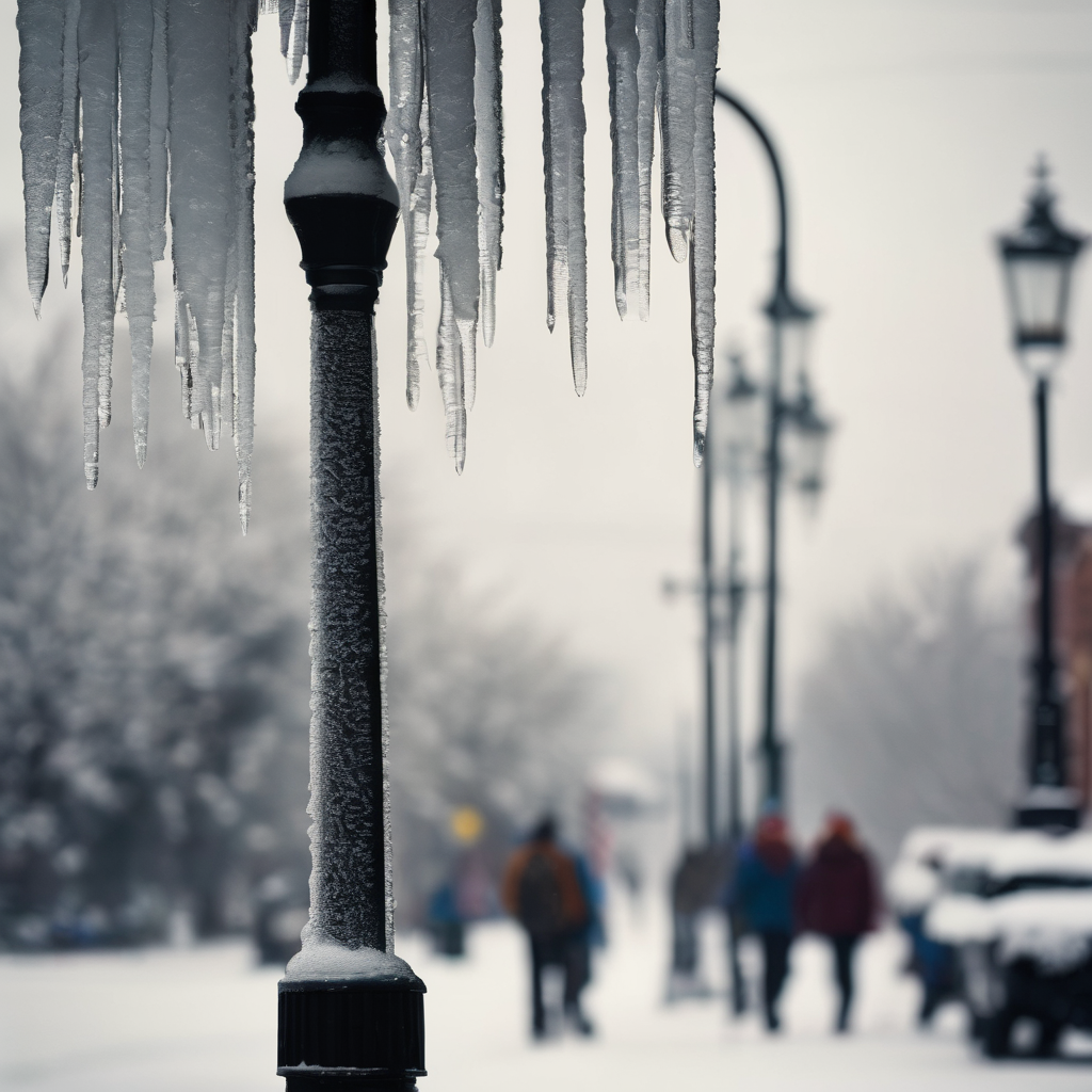
The coldest Arctic air of the season is set to become trapped east of the Appalachians, affecting the mid-Atlantic and the Carolinas as a storm system moves from the Southeastern United States up the East Coast. This weather pattern is expected to create hazardous conditions for drivers due to potential ice accumulation later this week, particularly along the busy Interstate 95 corridor in Virginia and North Carolina.
Forecasts indicate that a layer of ice could form by midday Friday, likely resulting in a significantly different evening commute compared to morning conditions. Areas in western Virginia and the mountainous regions of western North Carolina, still recovering from Hurricane Helene’s impact in 2024, may face additional ice accumulation.
Furthermore, a broader stretch from Virginia to Massachusetts could receive between a coating to an inch of snow from Friday into Saturday, impacting major metropolitan areas including Washington, D.C., Philadelphia, New York City, and Boston. Cities like Charlotte, North Carolina, and Roanoke, Virginia, are particularly noted as having a chance for their first snowfall of the season.
This influx of Arctic air, which has been progressing through the Midwest, is forecasted to arrive in the Northeast by Thursday, bringing the lowest temperatures of the meteorological winter so far. For places like Richmond, Virginia, and Raleigh, North Carolina, temperatures may plummet to the low 30s or even upper 20s on Thursday night.
Compounding these frigid temperatures, a storm system currently responsible for severe rainfall in the Southeast will make its way up the East Coast, setting the stage for a mix of snow and ice. The phenomenon known as cold-air damming will effectively trap the cold air at the surface, as warm air from the storm rises above it.
While the specific accumulation of snow and ice remains uncertain, travelers on major highways including Interstates 95, 91, 40, 85, and 77 should stay updated with the latest weather information. This forecast development follows a series of winter storms that have already affected a large portion of the country in early December and aligns with NOAA’s earlier predictions of an active winter season attributed to the La Niña climate pattern.
As communities prepare for the impending weather challenges, the spirit of resilience and readiness is more important than ever, reminding all of us to take precaution on the roads as nature takes its course.