
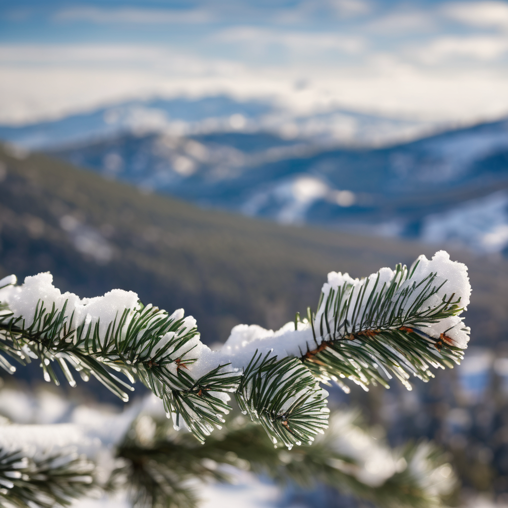
Snowfall is set to move in from the west across the mountainous regions of Colorado late tonight, bringing with it a drop in temperatures. Overnight lows are expected to fall into the low teens in lower elevations, while the High Country could experience single-digit temperatures and even negative values.
As we look ahead, an arctic boundary is anticipated to push into Colorado late Thursday, resulting in a significant decline in temperatures. Highs will only reach the 20s in Colorado Springs and Pueblo on Friday and Saturday, with light accumulations of snow forecasted for lower elevations — ranging from a trace to an inch. However, the mountains may see more substantial snowfall, with some localized areas projected to receive a foot or more.
As the weekend approaches, overnight lows are expected to dip into the single digits along and east of I-25 by Saturday and Sunday mornings. There may still be a few lingering snow showers during the Broncos game on Sunday. Fortunately, temperatures are expected to rebound slightly, with highs reaching the 30s. By Sunday night, the forecast indicates a drying trend across the state, providing some relief after the winter weather. Overall, while challenging weather conditions are anticipated, the forecast also suggests a hopeful break toward clearer skies as the weekend progresses.