
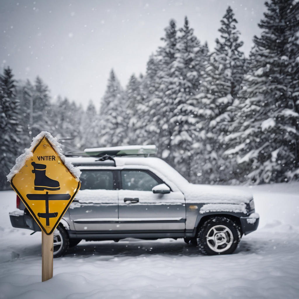
The National Weather Service has issued a winter weather advisory for Summit and Portage counties, effective from 10 a.m. Monday until 1 p.m. Tuesday. Residents are warned to prepare for a significant dose of lake-effect snow, with total accumulations expected to range from 3 to 7 inches. Alongside the snowfall, wind gusts could reach as high as 60 miles per hour.
Travel conditions are anticipated to be challenging due to these hazardous weather patterns, particularly affecting the Monday evening and Tuesday morning commutes. The National Weather Service predicts that the heaviest snow will occur late Monday afternoon and into the evening, with snowfall rates potentially hitting 1 inch per hour at times, raising concerns about tree damage from strong winds.
As a precaution, the Ohio Department of Transportation, along with the Ohio Turnpike and Infrastructure Commission, is advising motorists to adhere to travel restrictions and postpone any non-essential travel. For real-time updates on travel, roadway, and traffic conditions, individuals can visit www.ohgo.com.
The forecast underscores the importance of remaining vigilant and prepared as winter weather can significantly impact daily activities. While the snow can create beautiful winter landscapes, it also necessitates caution on the roads to ensure safety for all drivers.