
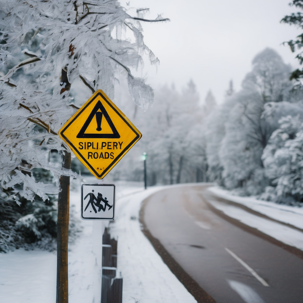
A winter storm is set to affect the region from Friday afternoon through Saturday morning, according to meteorologist Justin Chambers. This weather system is expected to bring a mix of wintry precipitation, primarily in the form of ice and sleet, particularly affecting areas north of Interstate 70. As temperatures remain at or below freezing, roads and sidewalks are likely to become slick, raising safety concerns for drivers and pedestrians alike.
Winter weather alerts have been issued for Northern Maryland and extending through Pennsylvania, New York, and New Jersey. Precipitation is anticipated to begin on Friday afternoon and continue into the night, creating potentially hazardous conditions, especially on bridges and overpasses. The winter storm has been rated with a level 3 out of 5 on the impacts scale, although this could be upgraded to a level 4 if conditions worsen.
The primary forms of precipitation expected are freezing rain and sleet. The freezing rain may result in ice accumulation on trees and power lines, while sleet could lead to a building layer of up to 1 inch on roadways, contributing to dangerous travel conditions. While the storm may also bring some light snow, it is forecasted that icy conditions will dominate the event, particularly affecting the more northern and eastern regions into New Jersey, New York, Pennsylvania, and New England.
As weather tracking indicates a high confidence regarding the storm’s path and timing, the specific totals and types of precipitation remain less certain. As the storm begins to clear out on Saturday, temperatures are expected to rise above freezing, providing some relief. However, residents should brace for another round of colder temperatures set to move into the area late Monday into the following week, indicating that winter may still have a significant grip on the region.