
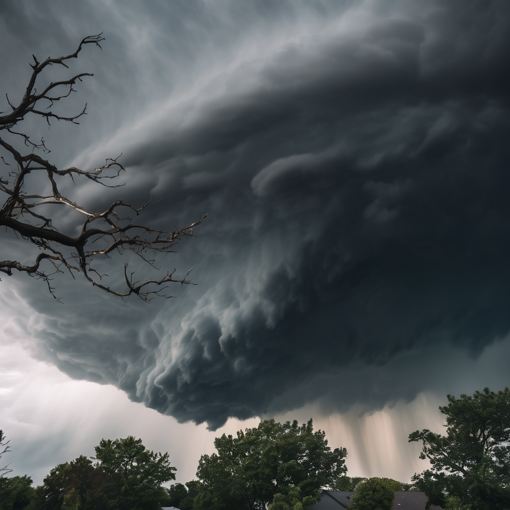
Louisville, Ky. (WAVE) – Residents in Indiana and North Central Kentucky are under a Tornado Watch until 9 PM ET today, as severe weather threatens the area throughout the evening. Meteorologists anticipate a shift to marginally severe storm conditions in Kentucky by midnight. WAVE News Chief Meteorologist Kevin Harned is closely monitoring the evolving situation to keep the public informed.
As the storm system begins to clear, Friday will usher in cooler and breezier conditions, with daytime temperatures expected to reach the 40s and 50s. There may be a few light sprinkles in the morning, particularly for areas north of I-64.
As temperatures drop overnight, a mix of rain and snow showers could develop late Friday, although it is not expected to significantly disrupt travel plans, as ground temperatures will likely remain above freezing. Some sunshine is predicted on Saturday, albeit with a lingering chance for rain showers throughout the day.
Focusing on the upcoming days, expect scattered snow showers on Sunday and Monday, linked to a strengthening system off the Atlantic coast. However, by Tuesday, a return to more typical seasonal temperatures and calmer weather patterns is expected, with increasing chances of rain mid to late next week.
As weather conditions evolve, residents are encouraged to stay alert and informed about any updates or changes in the forecast.