
A significant snowstorm is set to impact the Northeast shortly after the Christmas holiday, bringing hazardous winter conditions for millions in the region. With over 1,110 flight delays and nearly 1,050 cancellations reported, the storm is poised to disrupt travel for many, particularly affecting New York City’s main airports including JFK, LaGuardia, and Newark International.
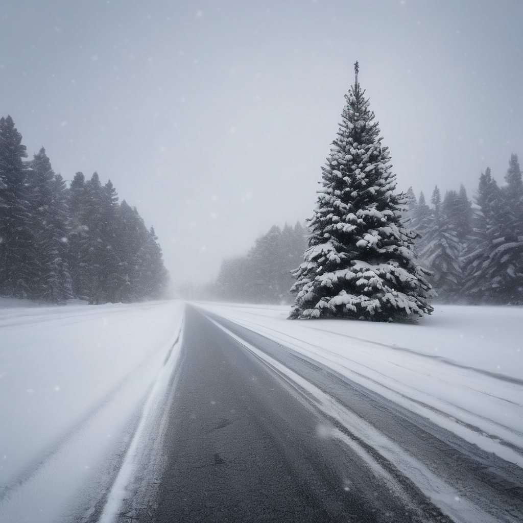
Forecasts indicate a quick but intense burst of snow and ice from Friday evening to early Saturday, potentially marking the largest snowfall New York City has experienced in years. The FOX Forecast Center predicts that areas from central New Jersey through to southern Connecticut may receive between 3 to 5 inches of snow, while New York City could see accumulations of locally higher amounts, ranging from 5 to 8 inches or more.
Connecticut Governor Ned Lamont has advised residents to refrain from traveling on Friday evening, emphasizing safety by suggesting an early exit to avoid hazardous conditions. Meanwhile, New Jersey has declared a state of emergency effective from 1 PM. The National Weather Service has responded accordingly, issuing Winter Storm Warnings across the region in anticipation of significant snowfall.
As the storm intensifies, forecasts predict snowfall rates could exceed an inch per hour at its peak overnight Friday. A combination of warm air from the south and frigid Canadian air is expected to create a mixture of snow, sleet, and freezing rain mainly between Philadelphia and New York City as the storm begins to subside.
For travelers, the timing of the storm coincides with one of the busiest travel weekends of the year. Major airports in the Northeast, including LaGuardia, Newark, Philadelphia International, and JFK, are under winter weather advisories, posing challenges for both air and road travel. Many major highways, such as I-95 and I-80, will be affected, complicating post-holiday travel plans.
In addition, strong high-pressure air from Canada is foreseen to produce hazardous ice conditions. Potential ice accumulations of up to a quarter inch are likely across portions of central Michigan and Pennsylvania, raising concerns of power outages in certain areas.
Meteorologist Ian Oliver from FOX Weather cautioned that driving conditions could become treacherous due to ice buildup, underscoring the importance of travel awareness during this period.
Fortunately, the swift nature of the storm implies that regions will likely experience improved conditions by Saturday morning, allowing travelers to resume their post-Christmas plans.