
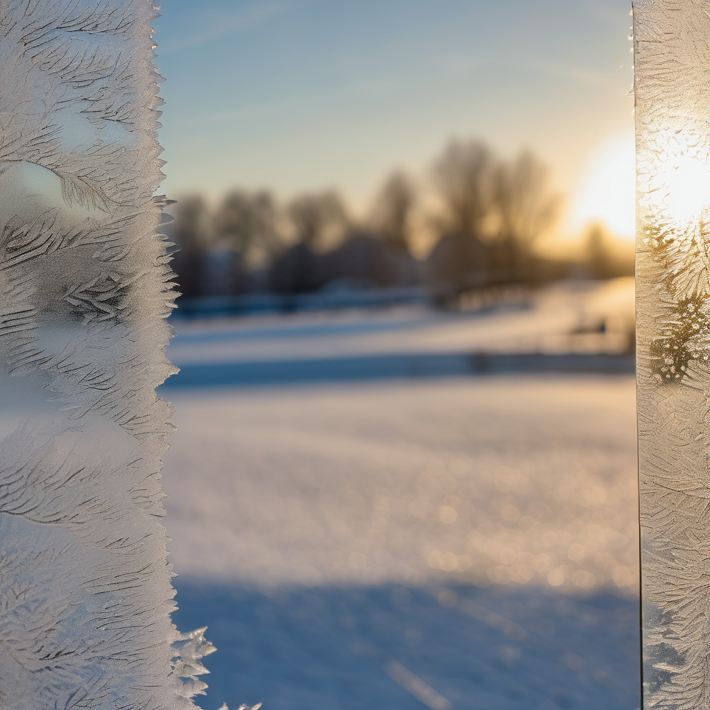
A dynamic winter weather pattern is gripping the Sault Ste. Marie region this weekend as the Polar Vortex descends, ushering in bitterly cold conditions that will persist into early next week. As the Arctic air moves in, temperatures are expected to plummet, with daytime highs remaining stuck in the minus teens.
Lake effect and lake-enhanced snow will continue through the weekend, keeping the region covered in wintery conditions. On Friday, a weather system crossing the Great Lakes is expected to bring light snowfall accumulations of 4-6 cm by evening. Despite daytime temperatures hovering around -6°C, gusty southeast winds at 15-20 km/h, with gusts up to 30 km/h, will make it feel like -12°C.
Saturday is forecasted to continue with unsettled winter weather, characterized by mostly cloudy skies and light flurries, accumulating a trace to 1 cm of snow. While temperatures may rise a bit, reaching a high of -3°C, they will drop sharply overnight to -12°C as the colder air begins to settle in. Winds will shift from light east-northeast to north-northwest at 10 km/h, leading to an overall chillier atmosphere.
Sunday will see an even more pronounced drop in temperatures as Arctic high pressure establishes itself from the west. Lake-effect snow is anticipated to persist, with an additional 1-2 cm possible, particularly in the afternoon and evening when northwest winds begin to intensify. As the combination of lake effect snow and frigid temperatures grip the area, highs will remain at a brisk -7°C, with nighttime temperatures expected to plunge to a chilling -16°C.
This weather scenario serves as a reminder of the robust and often unpredictable nature of winter in the Great Lakes region, urging residents to prepare for the cold ahead.