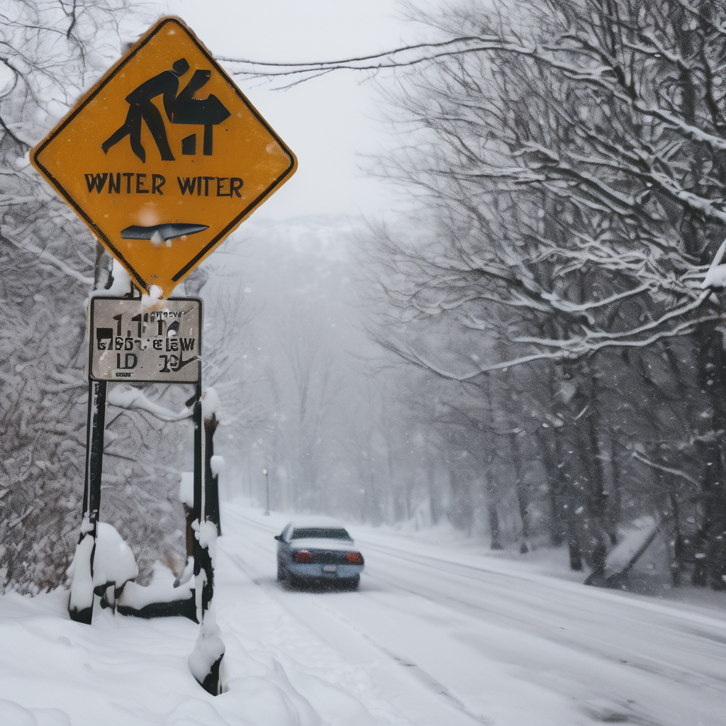
The weather forecast has seen an increase in predicted snow totals compared to earlier estimates. A low-pressure system is set to bring significant snowfall rates of 1-3 inches per hour to areas stretching from New York City into western Connecticut and Hartford between 6 p.m. and 11 p.m. on Friday evening.
In Boston, snow is expected to begin this evening as ocean-effect bands pick up, with heavier snowfall anticipated after 10 p.m. The steady snow from the clipper system will arrive in Boston around 9 p.m., continuing throughout the night.
Expectations indicate that snow will be light and fluffy, given the dropping temperatures, which are projected to be in the teens and 20s. This means that snow ratios could reach as high as 15:1 along the shoreline. By midnight, snowfall accumulation could reach 3-6 inches across New York State and western Connecticut, while Boston may see up to 5 inches, with localized areas along the south shore possibly accumulating 5-8 inches.
Travel conditions are likely to be hazardous across southwestern New England on Friday night, posing a risk for anyone returning home post-holiday celebrations. A winter storm warning is currently in effect for parts of Connecticut due to the anticipated heavy snowfall.
Looking ahead, the snow will begin to taper off early Saturday morning, though southeastern Massachusetts may experience lingering ocean-effect snow showers. Temperatures will remain chilly in the 20s throughout the afternoon, leading to a mix of sun and clouds as conditions improve inland.
As the weekend progresses, Sunday starts off dry with milder temperatures nearing 40 degrees. However, a new weather system is forecasted to move in Sunday night into Monday, bringing the potential for freezing rain before transitioning to rain by Monday afternoon as temperatures rise to the mid-40s.
As we usher in the New Year, things are expected to be breezy yet dry, with highs in the upper 20s, making for a refreshing start to 2025.
