
A winter weather advisory is set to take effect in Massachusetts as freezing rain and sleet are expected late this week. The advisory will be in place from 5 p.m. on Thursday and is anticipated to last until around noon on Friday. With temperatures dropping and ice forming, Friday morning’s commute could be challenging for many residents.
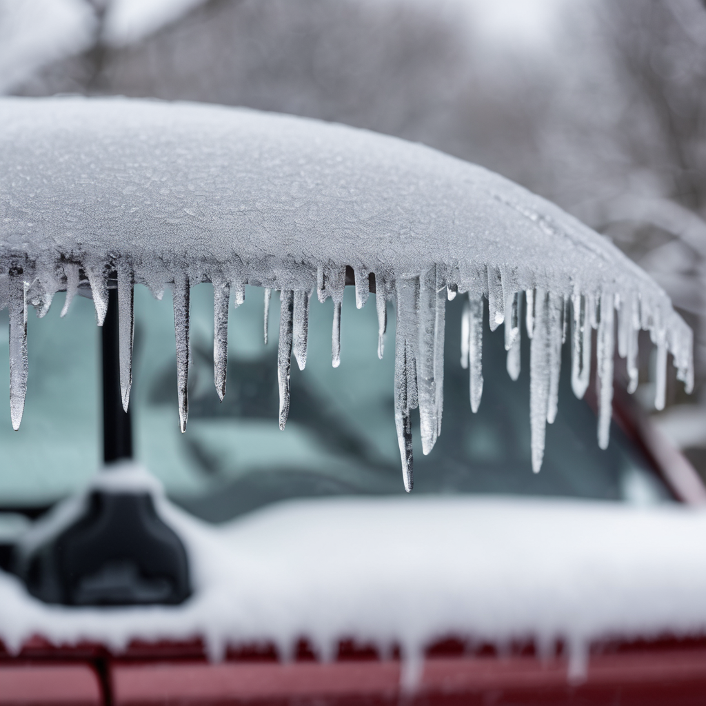
As weather systems move in from the west, mixed precipitation is expected to begin Thursday afternoon, initially arriving as rain due to warmer temperatures. However, as night falls and temperatures decline, this rain is predicted to transition into a wintry mix of sleet and snow. Meteorologists are particularly concerned about the potential for hazardous ice conditions, especially along the Mass Pike and elevated areas around Worcester, where ice accumulation could weigh down power lines and tree limbs.
Areas in Boston may experience around an inch of snow, while locations further north could see snowfall totals ranging from one to three inches or more, depending on the conditions. Serious caution is advised due to possible black ice forming on untreated surfaces during the overnight hours leading into Thursday.
Looking ahead, although the freezing precipitation will clear by lunchtime on Friday, cloudy skies will prevail over the weekend. Fortunately, milder temperatures are expected to rise into the 50s on Saturday and Sunday, providing relief from the winter chill. Early Sunday could see some light showers before sunnier weather makes a return at the start of next week, as temperatures are projected to reach the 60s—a change many are eagerly anticipating.
As the region braces for this wintry mix, residents are encouraged to stay informed about evolving weather conditions and prepare for potentially slippery roadways.