
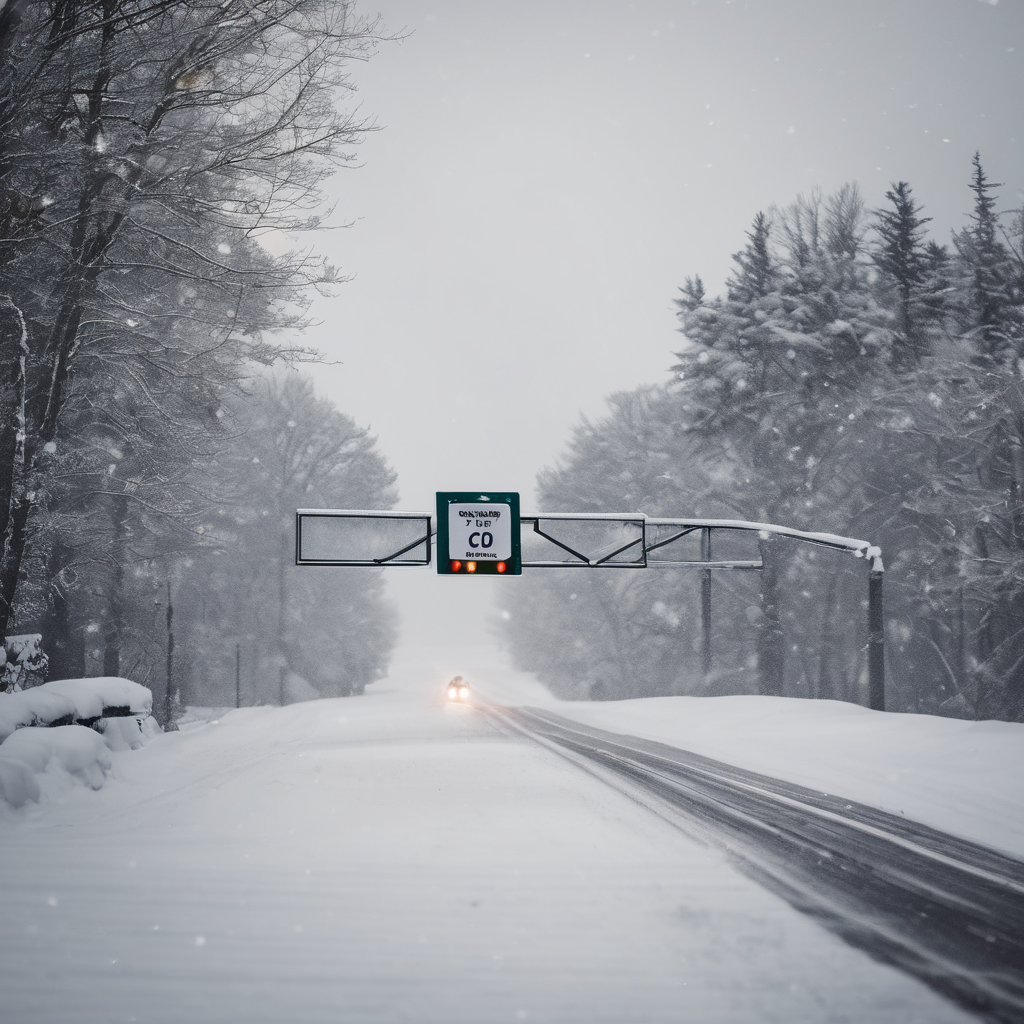
LANSING — The Lansing area is bracing for a significant winter storm, with forecasters warning of slick roads and hazardous conditions on Wednesday, January 21. The National Weather Service has issued winter weather advisories for Clinton, Eaton, Ingham, Jackson, and several other counties in south-central and southwest Michigan, effective from 1 a.m. to 10 a.m. on that day.
Residents can expect snow accumulations ranging from 3 to 6 inches in the southern parts of the region, while areas further north may see 2 to 5 inches. Isolated locations could experience even higher totals. Drivers are advised to prepare for slippery road conditions, particularly during the morning commute.
The arctic-like conditions that have settled in the area are expected to persist, with a slight warmup forecasted on Wednesday, when temperatures are expected to reach around 30 degrees. However, the weather will take a turn, with highs dropping to single digits on Friday and Saturday. Nighttime lows are predicted to plunge to around minus-12 degrees on Friday night, with continued subzero temperatures on Saturday and Sunday nights.
The National Weather Service indicates that multiple clipper systems moving through the Canadian Rockies and into the Midwest and Great Lakes will contribute to the wintry weather. These systems are expected to enhance lake-effect snow, especially on the eastern and southern sides of the Great Lakes, including localized heavier snowfall near Lake Ontario.
As residents prepare for the tough weather ahead, they are encouraged to stay updated with the latest forecasts and to take necessary precautions while traveling.