
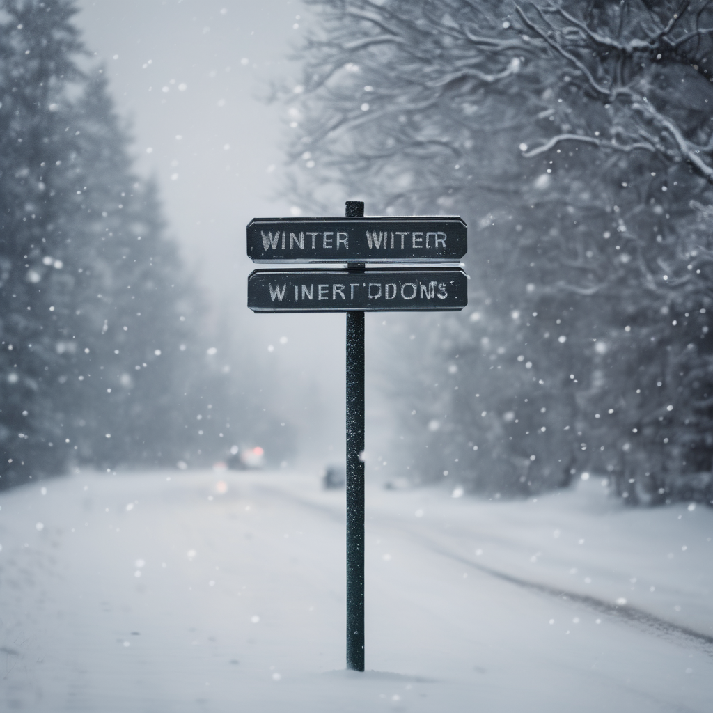
Winter has made an early entrance, appearing just in time for New Year’s Eve celebrations. The National Weather Service in Cleveland has issued warnings for an incoming winter storm that will affect north central Ohio starting Tuesday night and extending through Thursday evening, bringing a significant lake-effect snow event.
The forecast indicates that snow accumulation will intensify around 1 p.m. on Wednesday, continuing until approximately 7 p.m. on Thursday. Areas such as Richland, Ashland, and Knox counties are expected to receive between 4 to 6 inches of snow. However, regions within the primary lake-effect snowbelt of northeast Ohio could experience even heavier snow, with totals reaching 8 to 12 inches near the lakeshore.
Adding to the wintery conditions, wind gusts may peak between 30 to 35 miles per hour, particularly around Lake Erie. This could result in blowing snow and reduced visibility, complicating travel conditions. As winter weather intensifies, travel may become hazardous, especially during the Wednesday night into Thursday timeframe.
With New Year’s Eve events scheduled for Wednesday night, those venturing out should heed the forecasters’ advice to plan accordingly. They recommend allowing extra time for travel and exercising caution on slippery roads.
Throughout the holiday period, temperatures are expected to remain frigid, with daytime highs in the 20s and nighttime lows plunging into the teens. Wind chills could drop into the single digits, making it feel even colder.
The lake-effect pattern may persist into Thursday evening with some areas experiencing lingering snow showers even after the main event has passed. This winter storm invites residents to embrace the season with patience and careful driving, serving as a reminder that winter has much to share as the New Year approaches.