
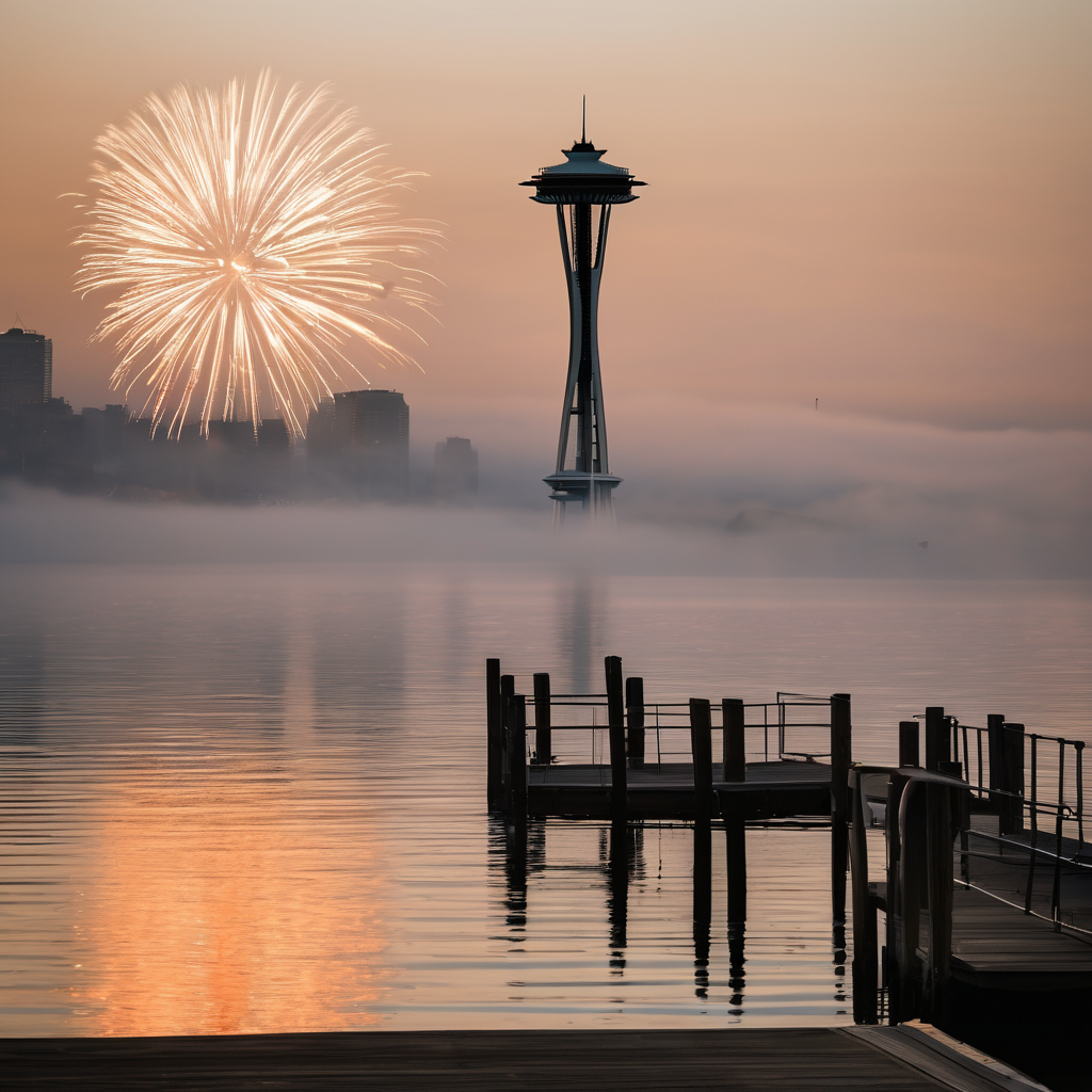
As New Year’s Eve approaches, spectators planning to enjoy fireworks may encounter reduced visibility due to fog. A Dense Fog Advisory is currently in effect from Puyallup to Seattle, extending south to Tacoma, Olympia, and the South Sound. This evening, fog is expected to reform just in time for fireworks festivities, and it will likely linger through Thursday morning.
Temperatures are projected to be quite chilly, primarily in the 30s, without any wind or rain. However, fog is predicted to develop in some areas before 10 p.m., potentially obscuring views of fireworks celebrations and trapping smoke in the atmosphere. Those heading out to ring in the New Year should warm up in preparation for the cold conditions.
While the fog will persist into New Year’s morning, a new wave of rain is on the horizon, moving in from the south. Starting around noon, light showers are expected to affect areas such as Grays Harbor and Pacific County, subsequently reaching Lacey and JBLM by early afternoon before spreading towards Seattle and Bellevue later in the day. Northern regions including Bellingham and Mt. Vernon may see rain overnight, with the possibility of snowfall in the mountains at elevations over 4,000 feet.
Looking ahead to Friday, conditions will experience a brief pause in rain during the morning before returning to wet weather in the afternoon. As mountain snow levels rise to 5,000 feet, snow and rain continue to affect Snoqualmie Pass and surrounding areas. The weekend may bring intermittent showers, along with a chance for some sunshine on Saturday afternoon. Travelers should remain vigilant, particularly for potentially slippery conditions over Snoqualmie Pass in the latter half of the weekend.
Despite the chilly and wet forecast, excitement remains high for the New Year celebrations, underscoring the resilience of communities in coming together to welcome in another year.