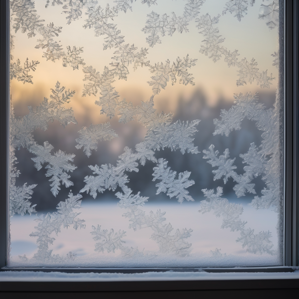
Central Indiana is bracing for a dramatic weather transformation, poised to experience a rapid drop in temperatures from the mild 50s to snow showers within a span of 24 hours.
Currently, a robust southwesterly wind gusting over 30 mph has led to unseasonably warm temperatures, with readings in the 50s across central and southern Indiana. Even tonight, the temperatures are expected to stay in the mild 40s, shielded by a thick layer of clouds that, at least for now, pose no immediate threat.
However, the weather pattern shifts on Wednesday morning as scattered rain and rain-snow showers are anticipated. Although temperatures may hover in the mid-30s early on, this will quickly change as a strong northerly wind sweeps in, ushering colder air that will plunge the temperature below freezing by midday and into the mid-20s by evening.
As conditions evolve, attention turns to the north where lake-effect snow showers are predicted to develop, drifting southward from Lake Michigan. These snow showers are expected to intensify late Wednesday night into early Thursday morning. While the precise locations of these bands remain uncertain, forecasts indicate a likelihood of significant snowfall south of Interstate 70.
For the Indianapolis metro area, a light dusting of around 1 inch of snow is likely. Areas such as Delphi and Peru may see 2 to 4 inches of accumulation, while regions east of I-65 could experience 1 to 2 inches. Expect slick and snow-covered roads, particularly late Wednesday night and overnight into Thursday.
The heaviest snowfall is projected to occur closer to Lake Michigan, where Winter Storm Watches and Warnings have been issued for potentially 4 to 8 inches of snow from Wednesday afternoon to midday Thursday. Travelers should exercise caution on Thursday morning as road conditions may be hazardous and school schedules could be affected.
By Thursday afternoon, the wind is expected to shift to the west-southwest, which should bring an end to the lake-effect snow in the area. However, this will not mark the end of winter-like conditions, as a series of swift-moving clipper systems is set to follow. The first clipper is forecasted from Friday into Saturday morning, followed by another system on Sunday evening into Monday, with additional systems likely next week.
This shift signifies a colder, more snow-prone weather pattern for Central Indiana, keeping winter firmly in the forecast for the days ahead. While the approaching snow may bring challenges to travel and daily routines, it also serves as a reminder that winter is still very much present, offering opportunities for holiday fun in the snow.
