
Meteorologist Matt Serwe has issued a Forecast First Alert for Sunday, December 27, 2025, as blizzard conditions are anticipated across Minnesota and western Wisconsin. With significant snowfall, strong winds, and the potential for whiteout conditions, motorists are urged to alter their travel plans to avoid the hazardous weather.
Starting at 9:00 AM, central and southern Minnesota will experience a combination of steady snow and wind gusts ranging from 40 to 50 mph, creating dangerous driving conditions. For those who must travel long distances, it is advisable to do so early in the day. The weather forecast suggests that conditions will worsen throughout the day.
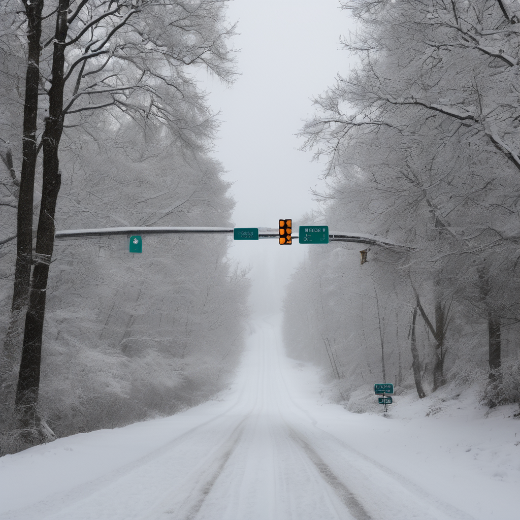
To ensure safety during the storm, drivers are encouraged to equip their vehicles with a winter weather kit, which should include extra clothing, blankets, water, snacks, and a fully charged phone. Given the severity of the storm, it is strongly recommended to refrain from driving in any areas under a Blizzard Warning.
In the Twin Cities, the weather is expected to begin with a mix of drizzle, freezing drizzle, and snow early Sunday, transitioning to all snow by around 10:00 AM. While driving in the metropolitan area may be manageable on Sunday afternoon, it is likely to be slower than usual due to the adverse weather. Drivers should be cautious about the potential for rapidly diminishing visibility, especially in open areas of the interstate.
As snow accumulates, the Twin Cities metro area is forecasted to receive between 6 to 8 inches of snow, with higher totals expected in northwest and north-central Wisconsin. Central Minnesota will see about 3 to 6 inches, while far western and southern parts of the state may accumulate only 1 to 3 inches.
Temperatures will start in the mid-30s on Sunday morning but are predicted to plummet into the teens by the afternoon. Wind chill values are expected to drop below zero during the afternoon into Monday morning due to the strong gusts. Snowfall is projected to cease by Sunday night, but windy conditions are likely to persist through Monday morning, potentially leading to school delays and cancellations outside the Twin Cities.
Looking ahead, the week will remain chilly with highs in the teens and another chance of light snow expected on New Year’s Eve. As the city braces for the impending storm, residents are encouraged to stay updated on weather conditions and adjust their plans accordingly.