
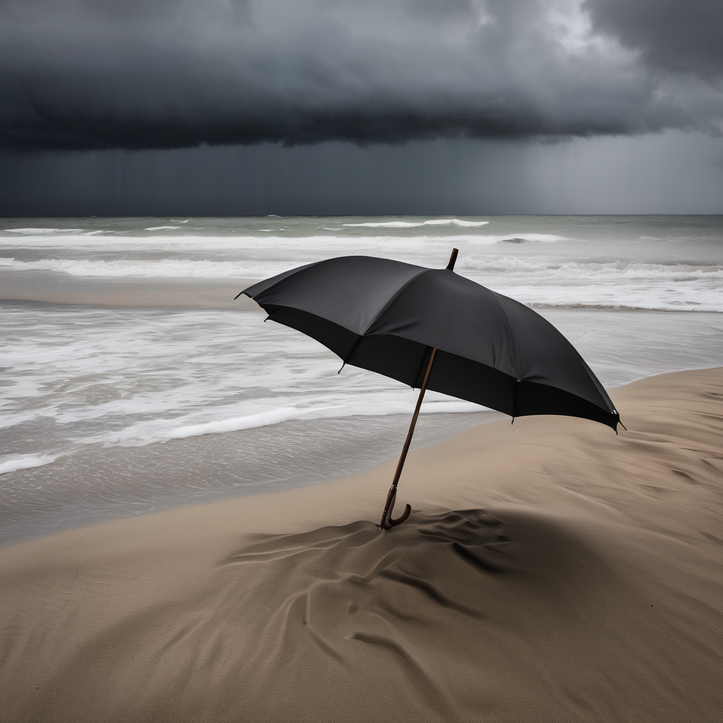
SAN FRANCISCO – The Bay Area is kicking off the new year with significant storms bringing heavy rain and strong winds. Residents can expect the impact of two Level 2 storms over the next few days, marking a wet start to January.
On New Year’s Day, a Level 1 storm is anticipated to bring rain, but the intensity will escalate on Friday when a Level 2 storm hits the region. This storm is likely to produce increased rainfall and strong winds, leading to potential damage to unsecured objects and some trees. The National Weather Service has warned that these winds could create hazardous conditions late Friday into early Saturday.
Additionally, there is a slight to moderate risk of thunderstorms developing on Friday morning, particularly affecting the Central Coast and South Bay areas. Coastal residents should also be mindful as high tides in San Francisco are expected to exceed normal levels by up to 1.8 feet, potentially causing localized flooding of roads, parks, and parking lots, although widespread closures are not anticipated.
As the weekend approaches, rain will continue with another Level 1 storm expected to persist through at least Monday. A coastal flood advisory is currently in effect for the shores of San Francisco Bay, San Pablo Bay, Monterey Bay, and the Pacific Coast. Authorities are predicting Thursday morning high tides to rise about 2 feet above normal, with storm surges contributing to a significant increase.
As the region braces for this tumultuous weather, residents are reminded to take precautions and stay updated with the latest forecasts. The storms are a reminder of the dynamic weather patterns that can occur during the winter months in the Bay Area, highlighting the importance of readiness and safety for all.