
MONTGOMERY, Ala. – As the state transitions from rain to calmer weather, residents are bracing for a significant drop in temperatures. Following the last of the showers, conditions will clear up for the evening, leading to a chilly night ahead.
Temperatures are expected to plummet into the 40s and even the 30s tonight. Tomorrow, while the skies will be mostly sunny, highs will struggle to reach the mid-50s. In some areas of North-central Alabama, temperatures could linger in the upper 40s. The cold will intensify overnight, with lows possibly descending into the upper 20s and low 30s. A north wind of 5-15 mph will exacerbate the chill, making it feel even colder.
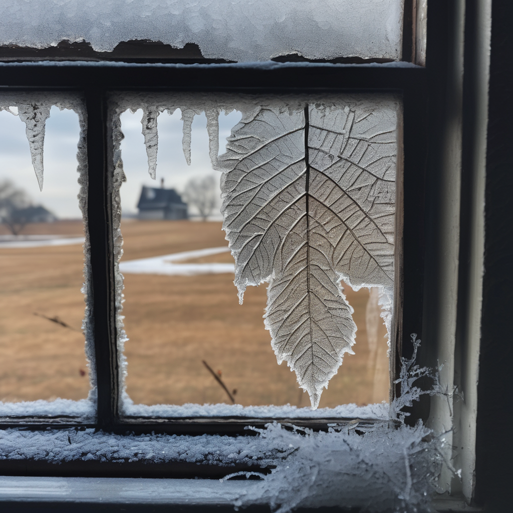
This upcoming cold snap is pronounced. Residents are advised to dress warmly, keep pets indoors, and look out for elderly neighbors. Frost and freeze conditions are likely to develop Sunday night and could persist into the early part of the week.
However, cold temperatures won’t be limited to just the beginning of the week. After a brief warming trend on Tuesday and Wednesday, the forecast indicates another significant drop by Thursday, although precise temperatures remain uncertain. The WSFA First Alert Weather team is actively monitoring the situation and will provide updates as new information becomes available.
This cold weather serves as a reminder for the community to take necessary precautions during the chilly season, ensuring safety and comfort through the unpredictable shifts in temperatures.